£0.00
FREE UK Shipping*
Out of Stock
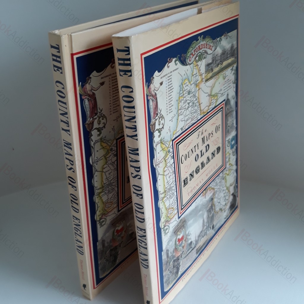
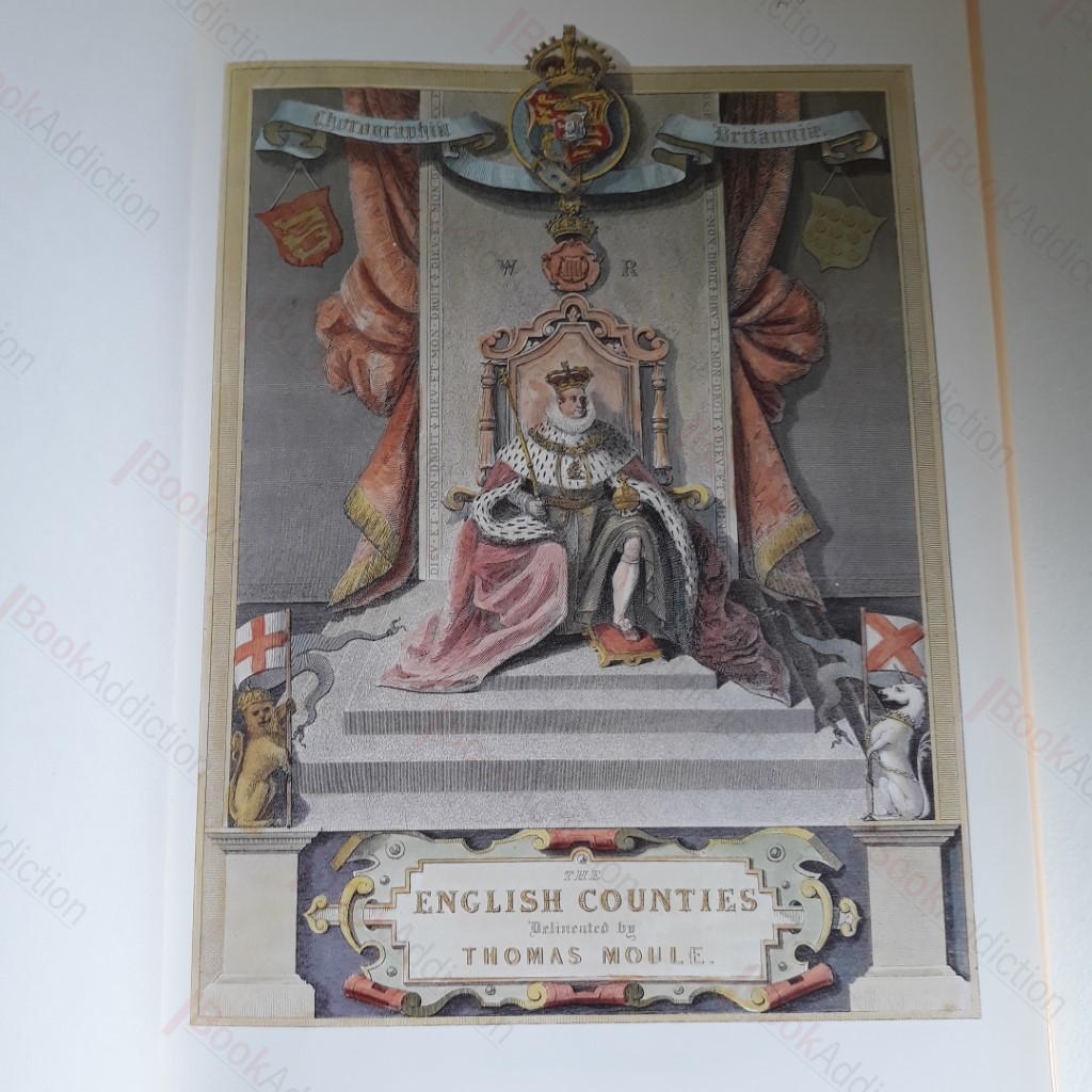
The County Maps of Old England
Author(s): Moule, Thomas; Barron, Roderick
| Binding: | Hardcover |
| Volume Condition: | Very Good |
| Dust Jacket: | No |
| Dust Jacket Condition: | Very Good |
| Language: | English |
| Publisher Name: | Dolphin |
| Publication Year: | 1993 |
| ISBN: | 9781858910383 |
| Book ID: | 001724 |
| Catalogue(s): | History - British ◇ Travel, Exploration and Topography |
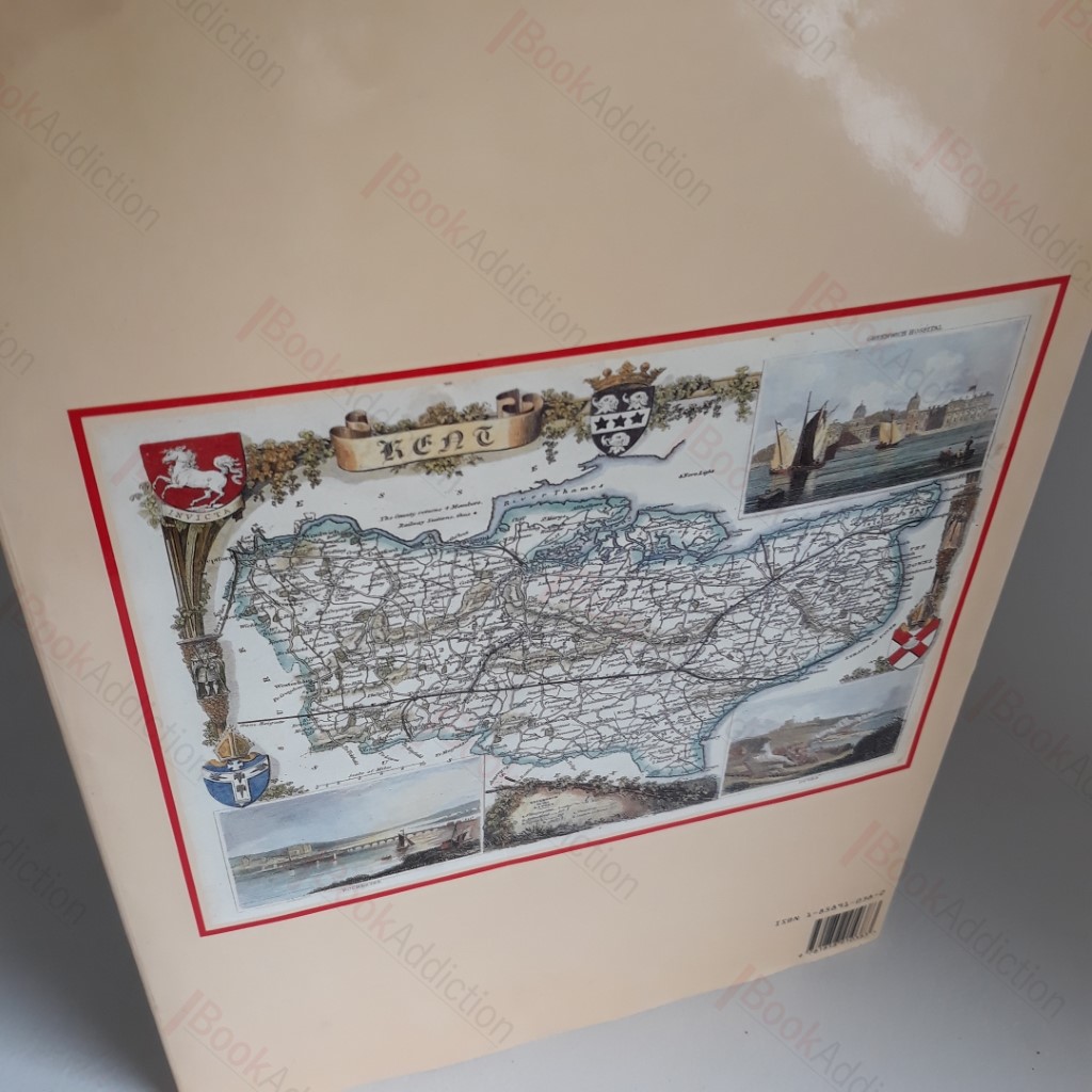
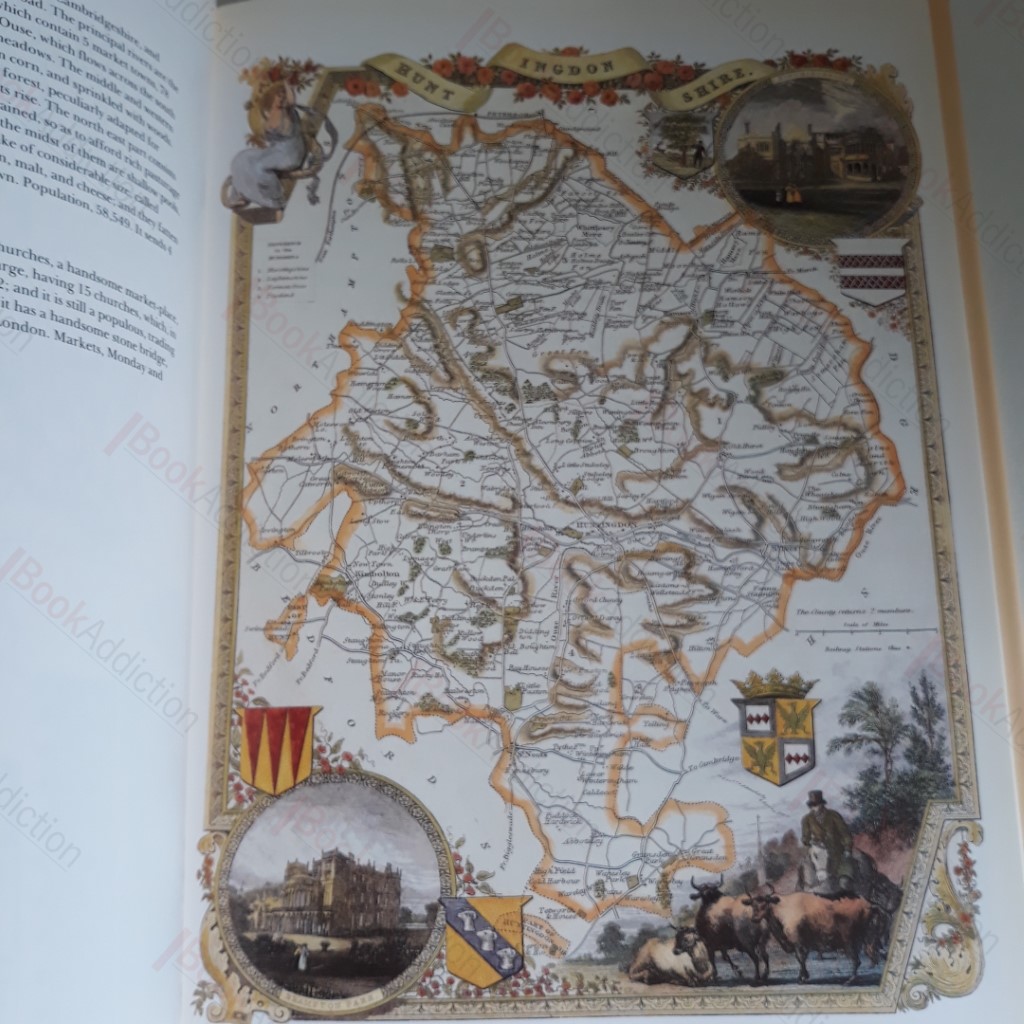
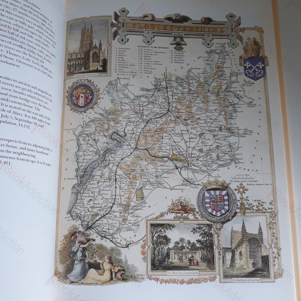
128pp. Illustrated, laminated boards. In original illustrated dust jacket. Hint of toning to page edges, else neat, clean bright and tight. Dust jacket very lightly bumped at edges. Large format volume. New edition of the work first published as "The English Counties Delineated" in 1830. Contains 56 of Thomas Moule's decorative coloured maps, one each for the counties of England as they were in 1830. Moule was one of the best loved early Victorian mapmakers; his maps are as popular and collectible now as they were in his lifetime. The accompanying text - descriptions of the mapped counties - is taken from Barclays Complete and Universal Dictionary, in which the maps were first published between 1842 and 1852.
Keywords:
maps
english counties
victorian mapmaker
thomas moule.