£11.60
FREE UK Shipping*
✓ In stock
* Allow 7-10 business days for delivery, usually by Royal Mail Tracked 48 or Second Class Post.
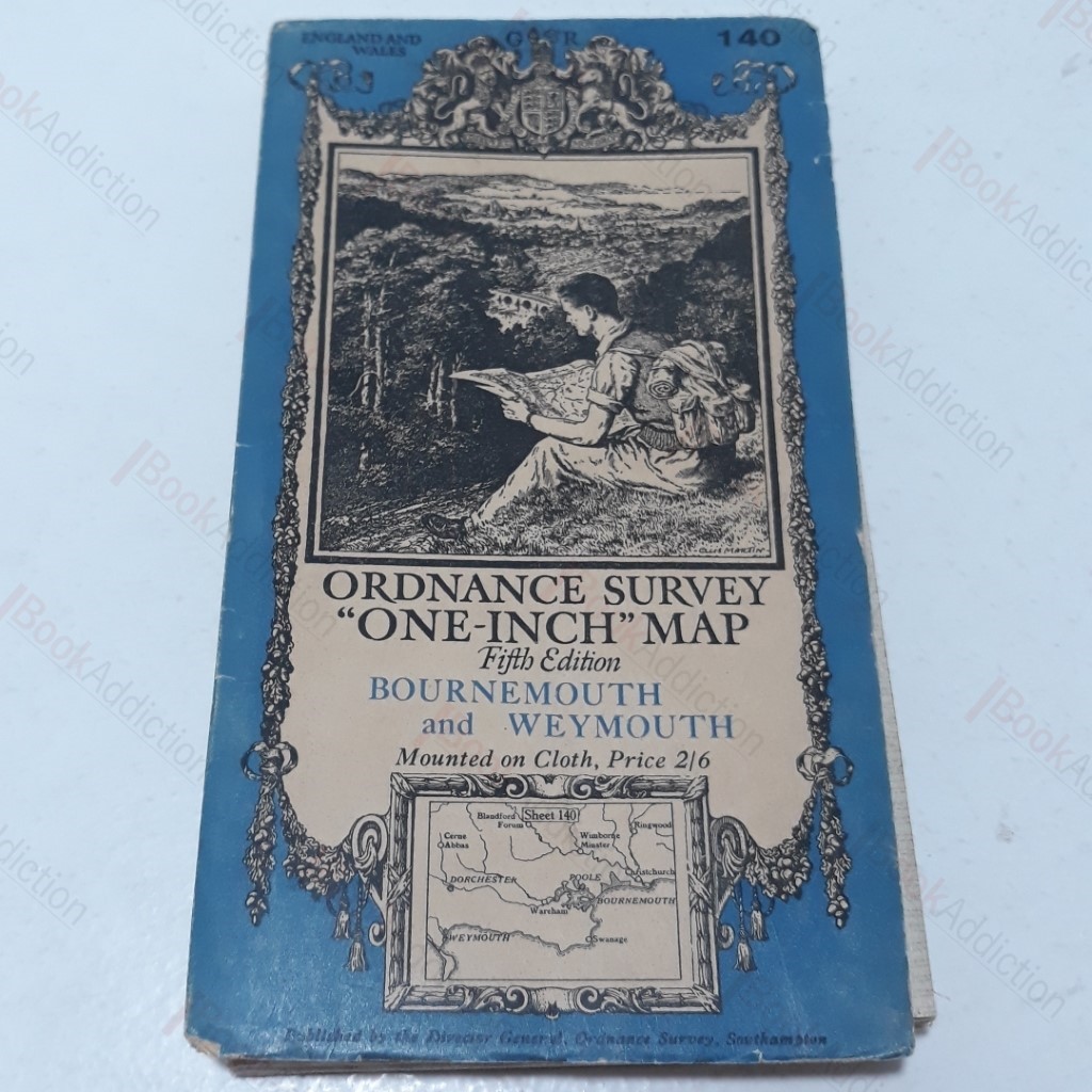
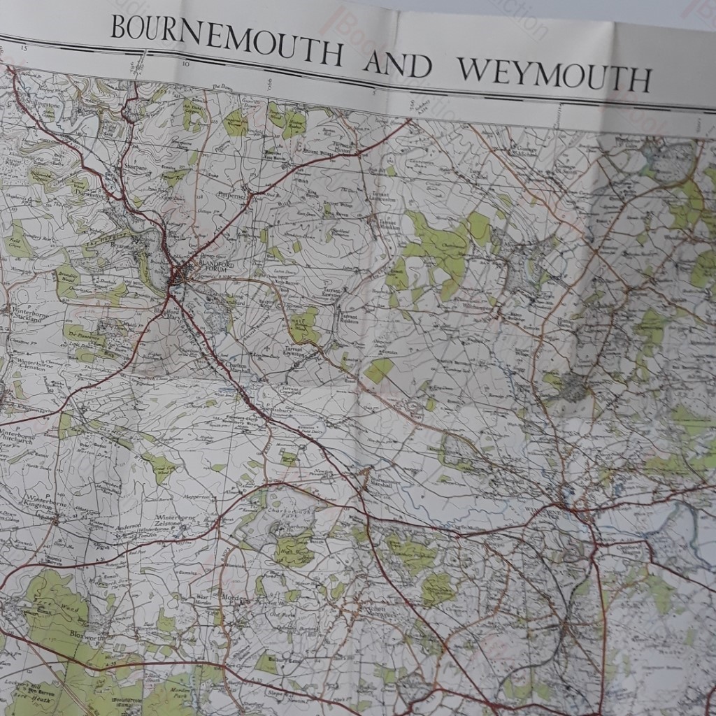
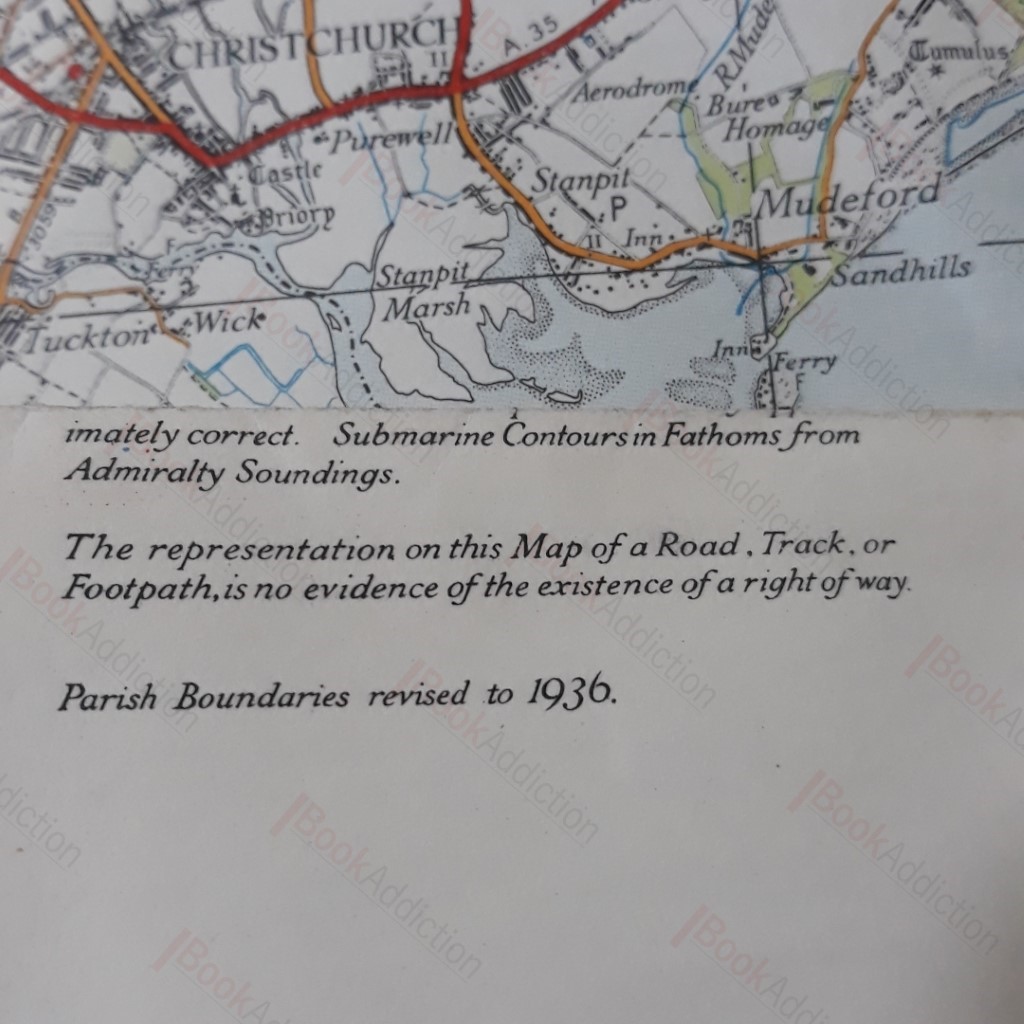
Bournemouth and Weymouth - Ordnance Survery 'One-inch' map - Sheet 140
| Binding: | Softcover |
| Volume Condition: | Very Good |
| Dust Jacket: | No |
| Dust Jacket Condition: | N/A |
| Edition: | 5th or later |
| Language: | English |
| Publisher Name: | Ordnance Survey |
| Publication Year: | 1936 |
| Publication Place: | Southampton, UK |
| Book ID: | 003153 |
| Catalogue(s): | Travel, Exploration and Topography ◇ Local Interest and History - South West |
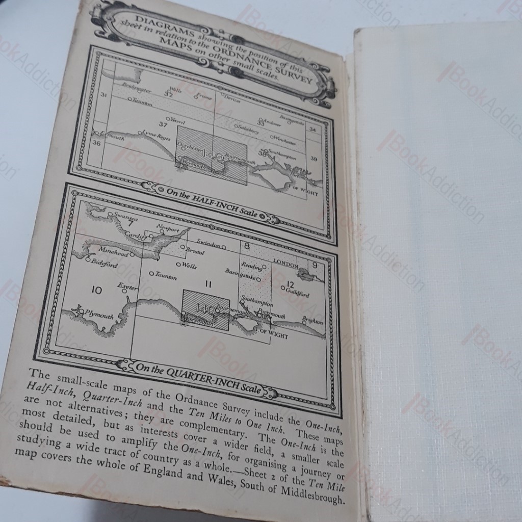
Large fold out, vintage map; paper on linen. Cards covers have some minor wear. 12mo.
Keywords:
devon
maps
old maps