£10.00
FREE UK Shipping*
Out of Stock
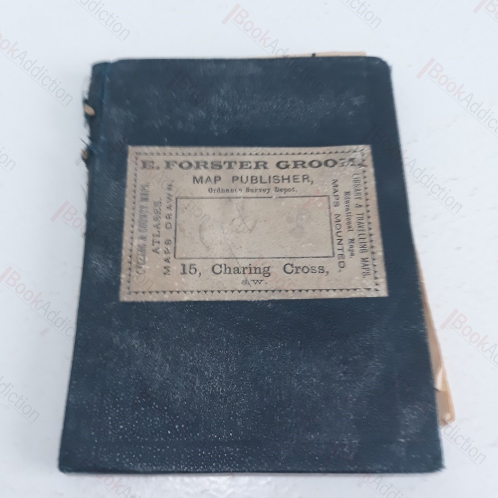
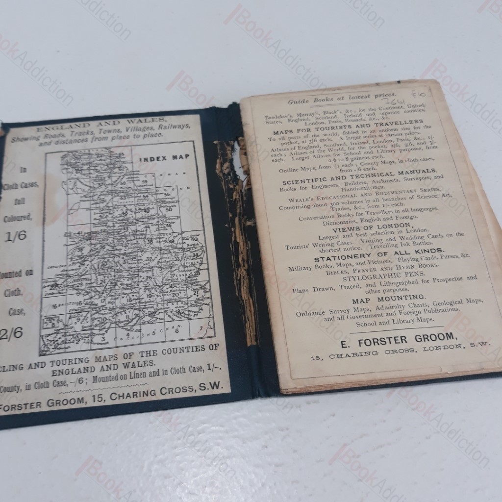
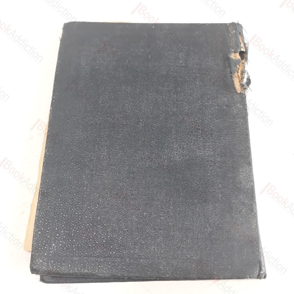
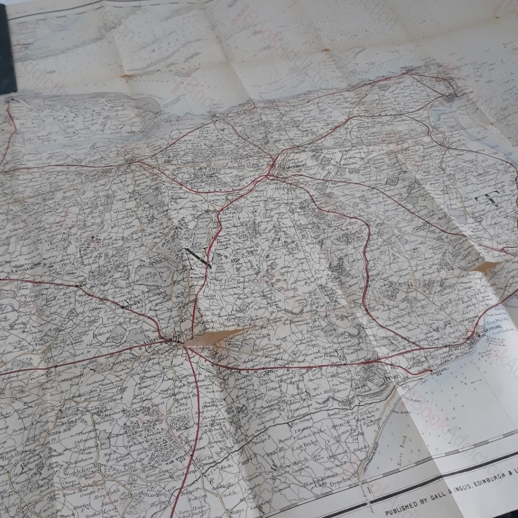
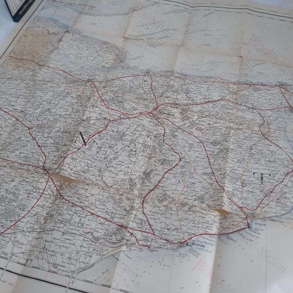
Kent Map - Ordnance Survey Sheet 28
| Binding: | Hardcover |
| Volume Condition: | Good |
| Dust Jacket: | No |
| Language: | English |
| Publisher Name: | E Forster Groom |
| Publication Year: | 0 |
| Publication Place: | London |
| Book ID: | 003641 |
| Catalogue(s): | History - Family and Institutional History, Geneaology |
c. 1900. Medium sized fold-out map. Blue vinyl-covered thick card covers. Spine worn through towards head and tear at folds. Circa 1930's. 24mo. Lovely vintage map of the county of Kent
Keywords:
Kent
map