£18.00
FREE UK Shipping*
Out of Stock
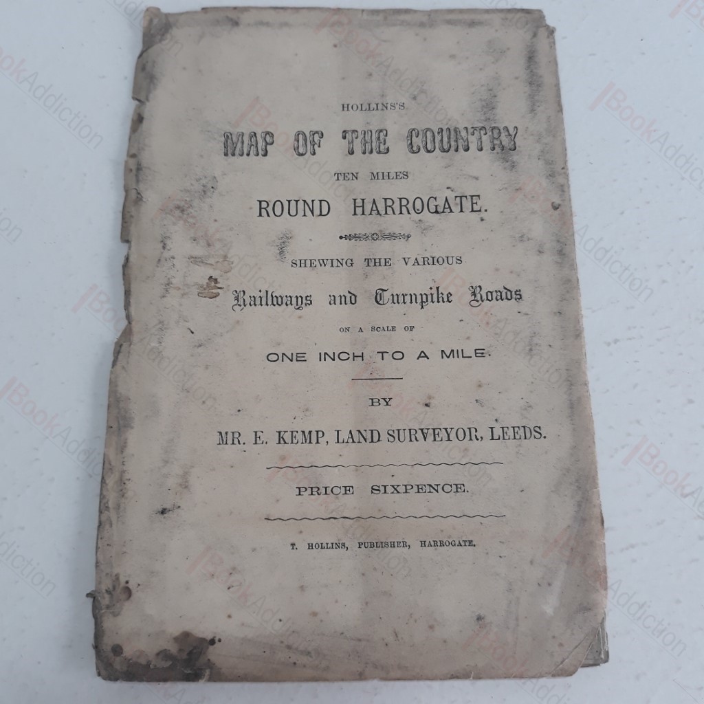
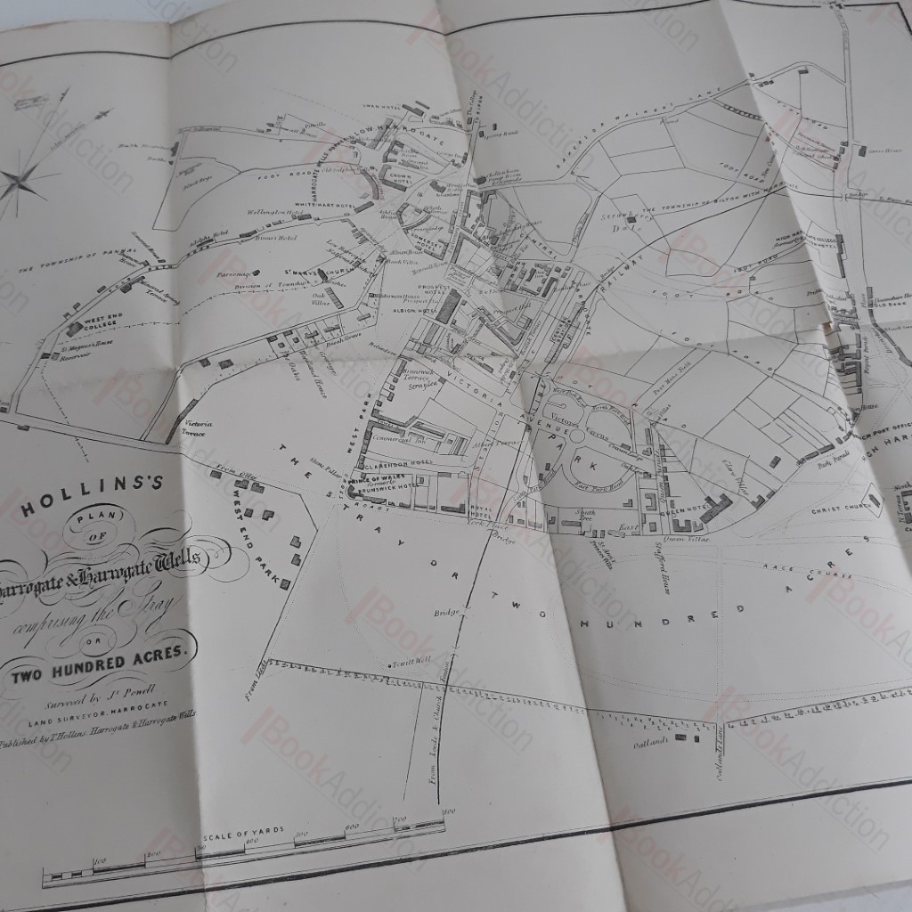
Hollins's Map of the Country Ten Miles Round Harrogate, Shewing Various Railways and Turnpike Roads, One Inch to One Mile
Author(s): Kemp, E (Land Surveyor, Leeds)
| Volume Condition: | Good |
| Dust Jacket: | No |
| Language: | English |
| Publisher Name: | T Hollins |
| Publication Year: | 0 |
| Publication Place: | Harrogate |
| Book ID: | 003855 |
| Catalogue(s): | History - Family and Institutional History, Geneaology |
Not dated but internal evidence suggests 1860s. Map folding out to 18 x 15 inches, showing Harrogate and its surroundings as they were in around 1865. Large scale, one inch to a mile. In printed paper cover (cover is worn, soiled and chapped at edges). Previous owner's stamp inside front cover. The map itself is crisp and clean but has some short cracks along folds and some minor loss at edge (not affecting image). Shows the old Church Fenton line into Harrogate, with the new 'central' station which was opened in 1862. Large 12mo as folded.
Keywords:
map
railways
harrogate
central station
church fenton
urban development