£15.00
FREE UK Shipping*
Out of Stock
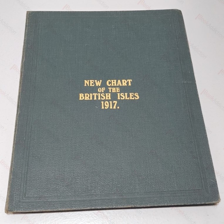
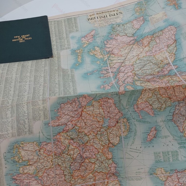
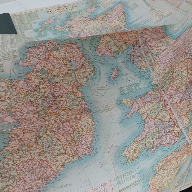
New Chart of the British Isles, 1917
| Binding: | Hardcover |
| Volume Condition: | Very Good |
| Dust Jacket: | No |
| Language: | English |
| Publisher Name: | Richardson |
| Publication Year: | 1917 |
| Publication Place: | UK |
| Book ID: | 004169 |
| Catalogue(s): | Uncategorized |
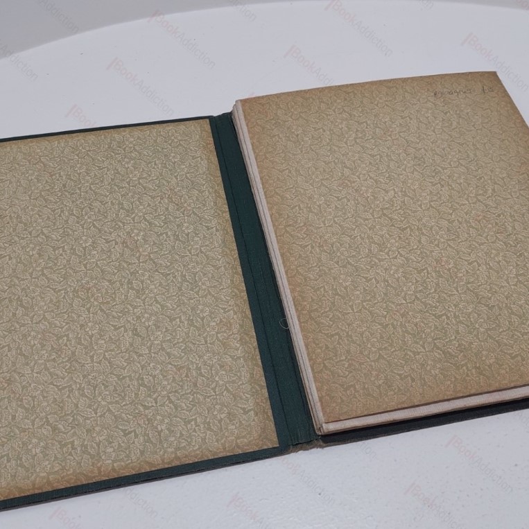
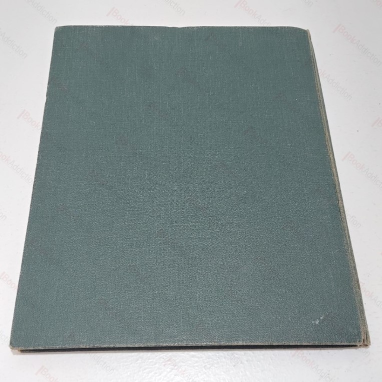
A large, fold out, linen-backed, coloured map of the British Isles, showing motoring and other transport routes, roads, rainfall etc, from mapmakers Richardson during the first world war. In deep green cloth-covered boards with gilt lettering, blind ruled (a little worn and faded on spine and edges). Decorated endpapers toned at edges. The map is bright and fresh.
Keywords:
maps
british isles