£17.40
FREE UK Shipping*
✓ In stock
* Allow 7-10 business days for delivery, usually by Royal Mail Tracked 48 or Second Class Post.
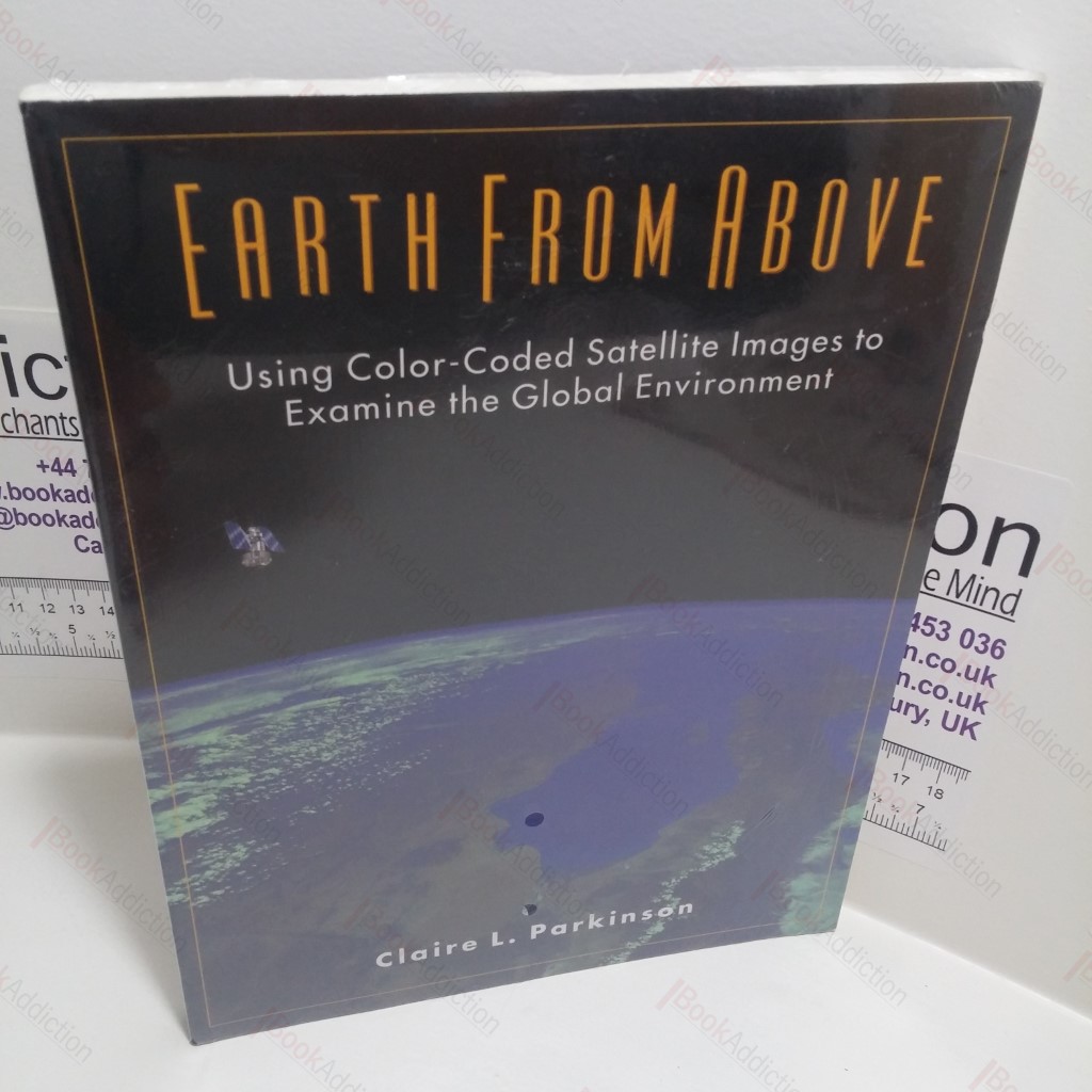
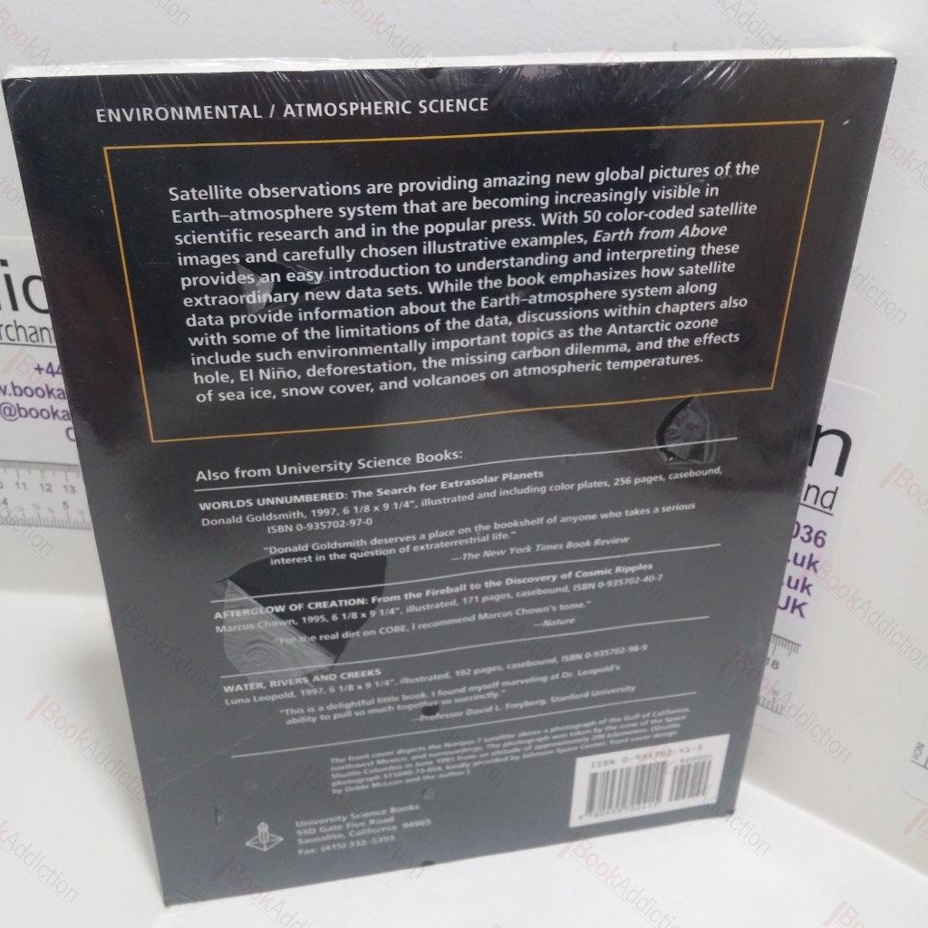
Earth from Above : Using Color-Coded Satellite Images to Examine the Global Environment
Author(s): Parkinson, Claire L
| Binding: | Softcover |
| Volume Condition: | As New |
| Dust Jacket: | No |
| Dust Jacket Condition: | N/A |
| Language: | English |
| Publisher Name: | University Science Books |
| Publication Year: | 1997 |
| Publication Place: | Sausalito, USA |
| Book ID: | 006066 |
| Catalogue(s): | Climate Change, Sustainable Development and Environmental ◇ Technology and History of Technology |
Still in shrink wrap. Laminated printed light card covers. 4to. Explains how raw data is converted into information about the Earth and the atmosphere, and shows the range of information being collected about the Earth through satellites.
Keywords:
geography
planetary studies
environment
satellites
earth
data