£6.00
FREE UK Shipping*
✓ In stock
* Allow 7-10 business days for delivery, usually by Royal Mail Tracked 48 or Second Class Post.
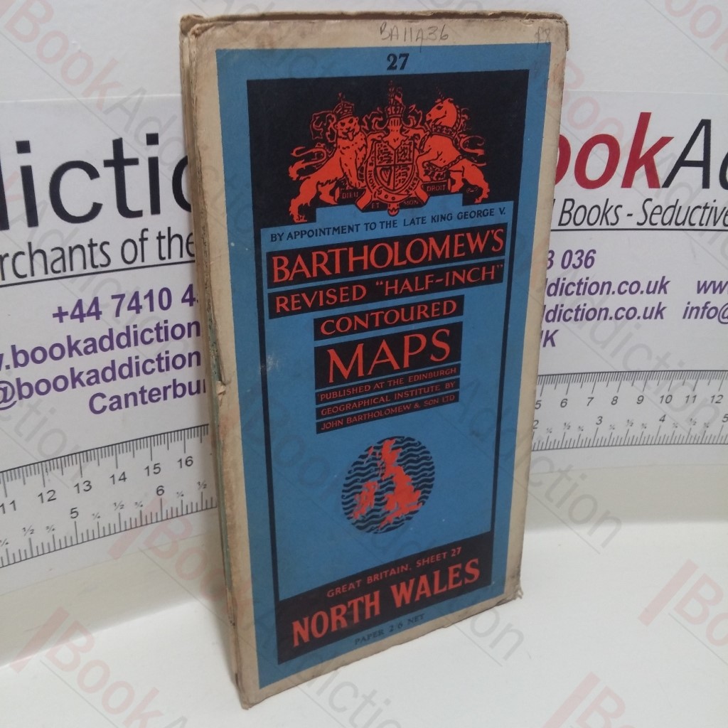
Bartholomew's Revised Half-Inch Contoured Maps - North Wales (Great Britain, Sheet 27)
| Binding: | Softcover |
| Volume Condition: | Good |
| Dust Jacket: | No |
| Dust Jacket Condition: | N/A |
| Language: | English |
| Publisher Name: | John Bartholomew and Sons |
| Publication Place: | UK |
| Book ID: | 011436 |
| Catalogue(s): | Bargain Corner ◇ Local Interest and History - Wales |
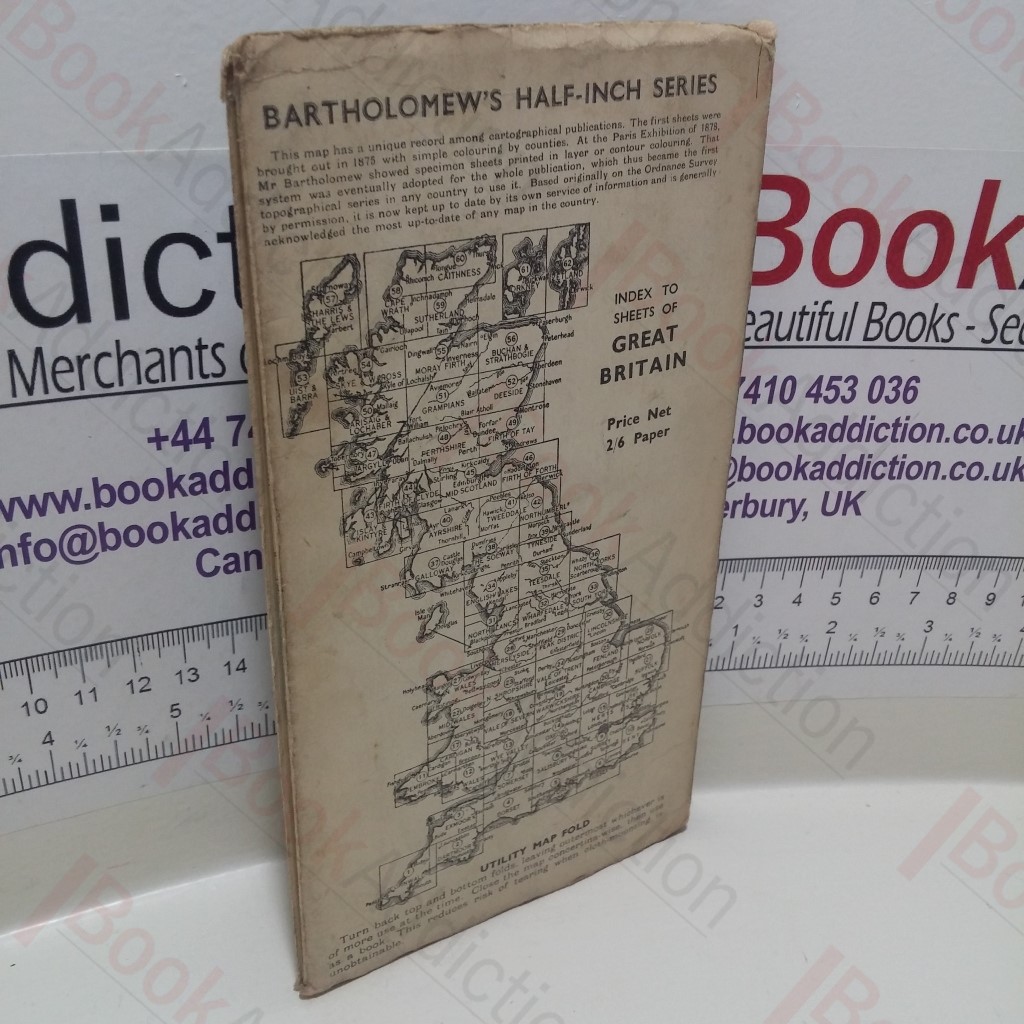
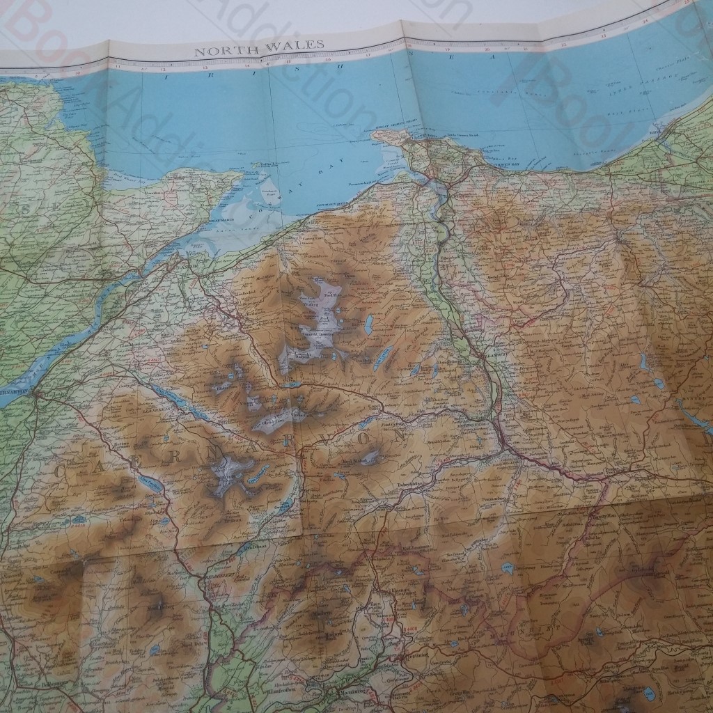
Folding map, extending to approximately 32 inches by 22 inches (roughly 7 1/4 by 2 1/5th inches when folded), in stiff card covers (covers a little faded, rubbed at edges). Map is clean, neat and clear, just a little worn at edges. Map of the North Wales area, scale one half inch to a mile, undated but circa 1945. Bartholomew's Half Inch Coloured and Contoured maps have a unique record among cartographical publications. The first sheets were brought out in 1856 with simple colouring by county. At the Paris Exhibition of 1878, Mr Bartholomew showed specimen sheets printed in layer or contour colouring. That system was eventually adopted for the whole publication series, which thus became the first ever topographical series in any country to use it. Based originally on the Ordnance Survey, it was latterly kept up to date by Bartholomew's.
Keywords:
Maps
Cartography
Wales