
£11.60
FREE UK Shipping*
✓ In stock
* Allow 7-10 business days for delivery, usually by Royal Mail Tracked 48 or Second Class Post.
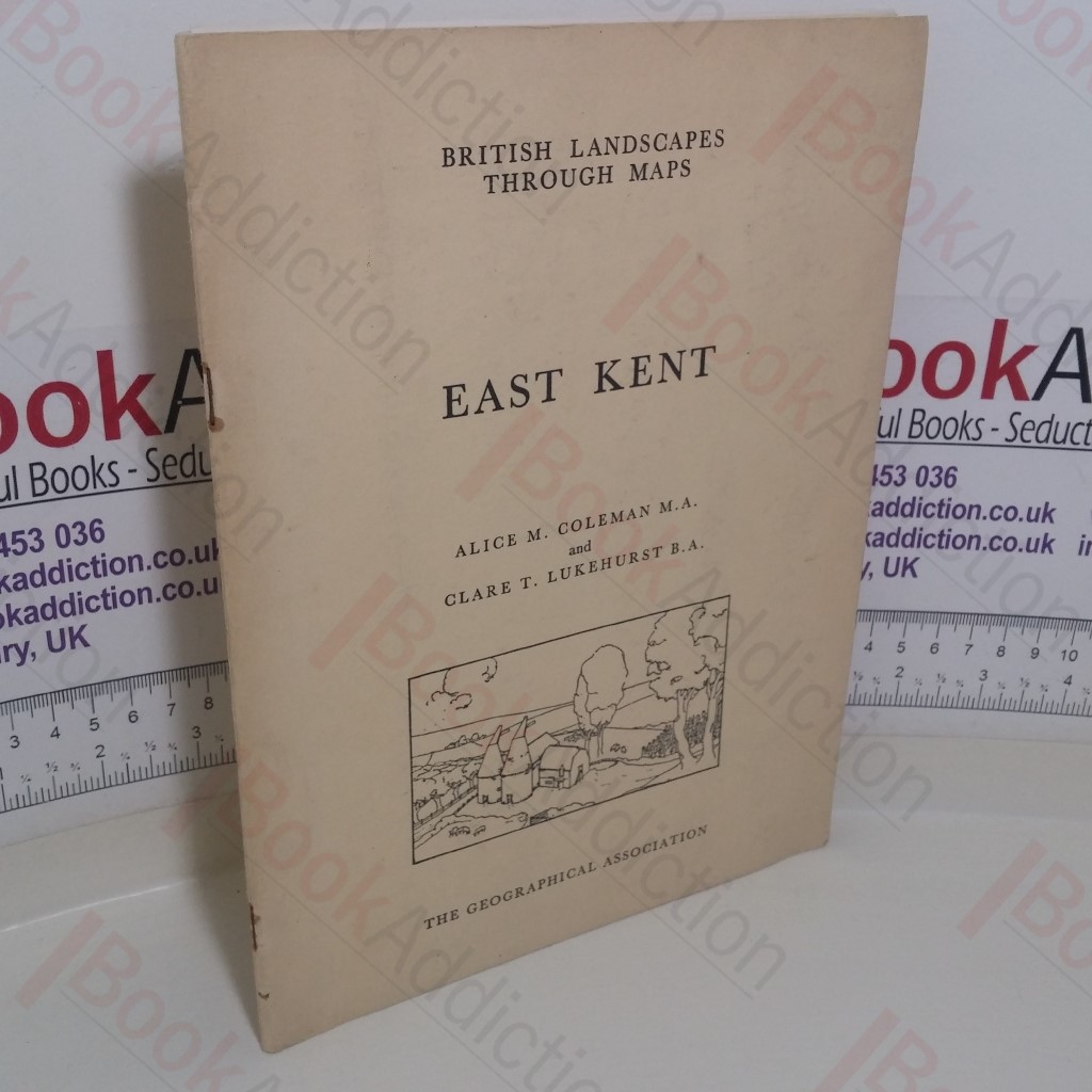
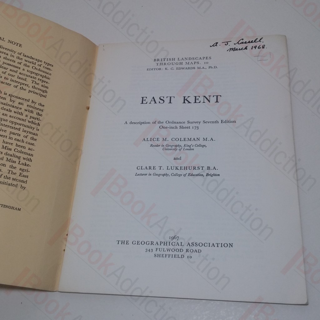
British Landscapes Through Maps: East Kent, A Description of the Ordnance Survey Seventh Edition One-inch Sheet 173
Author(s): Coleman, Alice M; Lukehurst, Clare T
| Binding: | Softcover |
| Volume Condition: | Good |
| Dust Jacket: | No |
| Dust Jacket Condition: | N/A |
| Edition: | 1st Edition |
| Language: | English |
| Publisher Name: | The Geographical Association |
| Publication Year: | 1967 |
| Publication Place: | Sheffield, UK |
| Book ID: | 018634 |
| Catalogue(s): | Local Interest and History - South East |
32pp; 4pp black and white photographic plates. Pictorial light card covers, stapled. 4to. Chipping to edges and wear to covers, full length fold to rear. Staples oxidising, plates loosely laid-in. Previous owner's name on title page. Internally, neat, clean, bright and tight.
Keywords:
Maps
Kent