
£10.70
FREE UK Shipping*
✓ In stock
* Allow 7-10 business days for delivery, usually by Royal Mail Tracked 48 or Second Class Post.
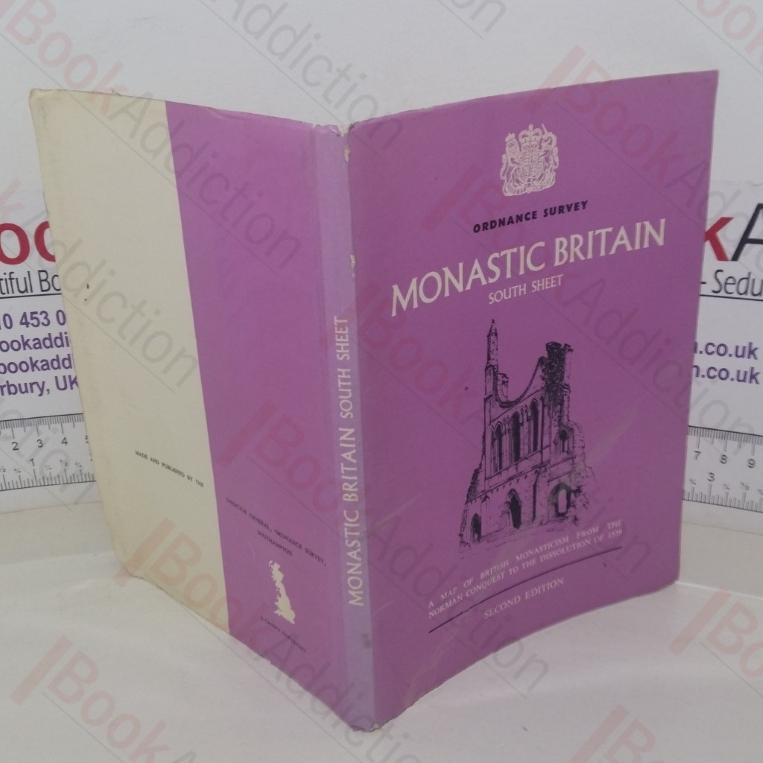
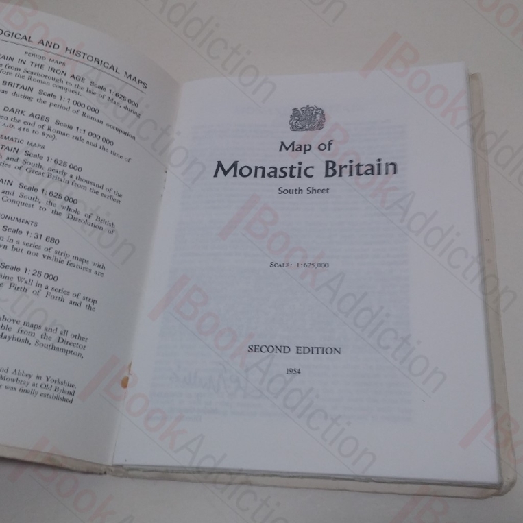
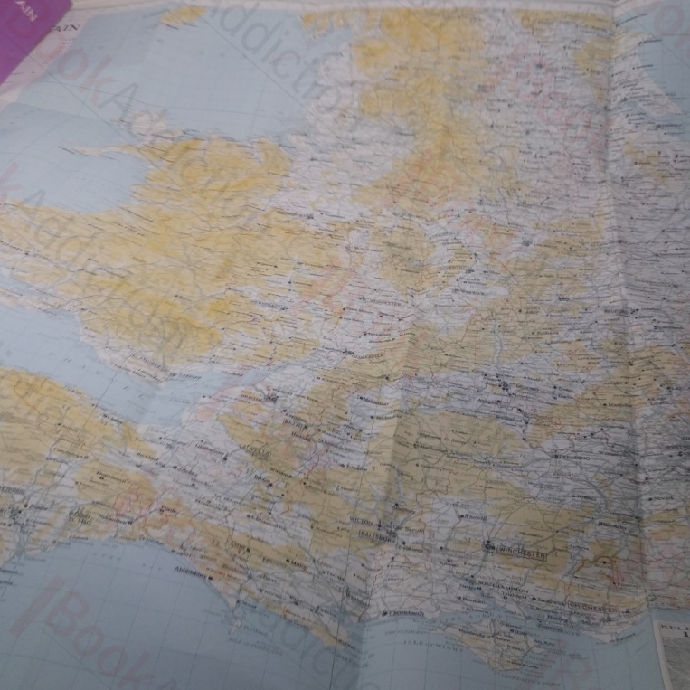
Ordnance Survey: Map of Monastic Britain - South Sheet (Archaeological and Historical Maps series)
| Binding: | Softcover |
| Volume Condition: | Good |
| Dust Jacket: | No |
| Dust Jacket Condition: | N/A |
| Dust Jacket Protection: | N/A |
| Edition: | 2nd Edition |
| Signature: | None |
| Language: | English |
| Publisher Name: | Ordnance Survey |
| Publication Year: | 1954 |
| Book ID: | 022297 |
| Catalogue(s): | Maps, Historic Maps and Cartography |
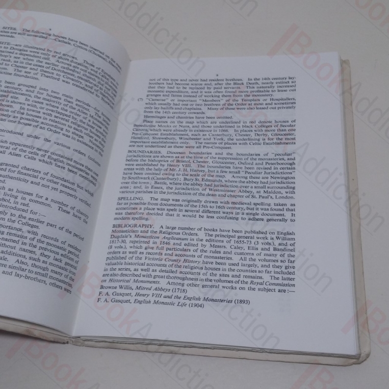
28pp, very large colour fold-out map in rear. Laminated, illustrated light card covers. Stapled booklet tipped-in at rear. 8vo. Chipping to edges and wear to covers; large fold on front, has cause local delamination. Booklet staples oxidising, price on booklet cover penned over. Internally, neat, clean, bright and tight.
Keywords:
Maps
Monastries
British