£26.90
FREE UK Shipping*
✓ In stock
* Allow 7-10 business days for delivery, usually by Royal Mail Tracked 48 or Second Class Post.
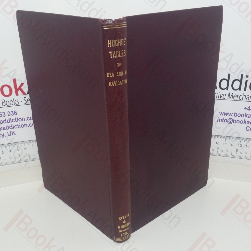
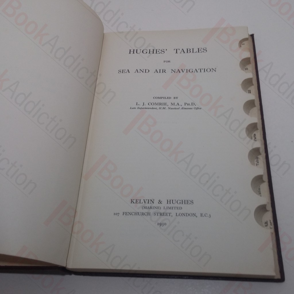
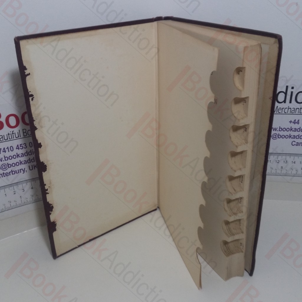
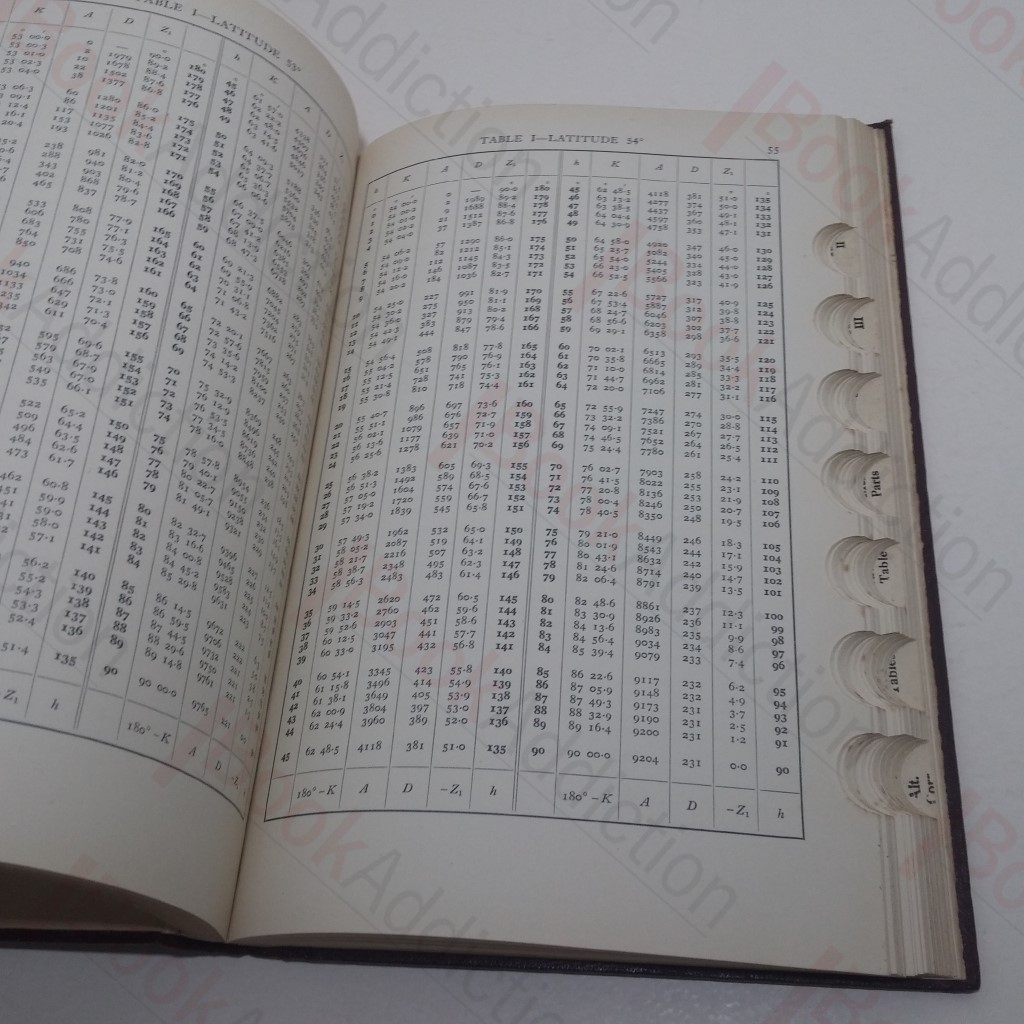
Hughes Tables For Sea and Air Navigation
Author(s): Comrie, L J (editor)
| Binding: | Hardcover |
| Volume Condition: | Good |
| Dust Jacket: | No |
| Dust Jacket Condition: | N/A |
| Dust Jacket Protection: | N/A |
| Signature: | None |
| Language: | English |
| Publisher Name: | Kelvin and Hughes (Marine) |
| Publication Year: | 1950 |
| Publication Place: | London, UK |
| Book ID: | 023153 |
| Catalogue(s): | Transportation ◇ Travel, Exploration and Topography |
182pp. Maroon cloth-covered boards, gilt titles on spine; cut out finger index along text block fore edge. Small 4to. Lightly rubbed spine ends, small closed tear at spine head; corners lightly rubbed and rounded, small bump on front fore edge, light soiling to front board. Top text block edge lightly tanned and starting to fox. Endpapers lightly tanned with wear along front pastedown edge. Pages are lightly age-toned otherwise, internally neat, clean and tight.
Keywords:
Navigation
Sea-faring