£10.70
FREE UK Shipping*
✓ In stock
* Allow 7-10 business days for delivery, usually by Royal Mail Tracked 48 or Second Class Post.
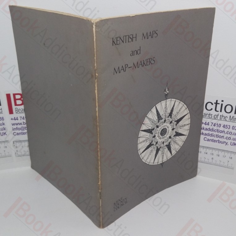
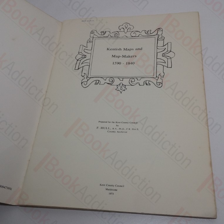
Kentish Maps and Map-Makers,1590-1840
Author(s): Hull, F
| Binding: | Softcover |
| Volume Condition: | Very Good |
| Dust Jacket: | No |
| Dust Jacket Condition: | N/A |
| Dust Jacket Protection: | N/A |
| Signature: | None |
| Language: | English |
| Publisher Name: | Kent County Council |
| Publication Year: | 1973 |
| Publication Place: | Maidstone, UK |
| Book ID: | 027632 |
| Catalogue(s): | Local Interest and History - South East ◇ Maps, Historic Maps and Cartography |
36pp, fully illustrated. Pictorial light card covers, stapled. 4to. Sun-faded spine, chipping to edges and wear to covers, some soilng, corners starting to curl, spine creased. Text block edges tanning. Internally, neat, clean, bright and tight.
Keywords:
Maps
Kent
Cartography