
£33.40
FREE UK Shipping*
Out of Stock
Mapping Jordan Through Two Millennia
Author(s): Bartlett, John R
| Binding: | Hardcover |
| Volume Condition: | Near Fine |
| Dust Jacket: | No |
| Dust Jacket Condition: | N/A |
| Dust Jacket Protection: | N/A |
| Edition: | 1st Edition |
| Impression: | 1st Impression |
| Signature: | None |
| Language: | English |
| Publisher Name: | Maney |
| Publication Year: | 2008 |
| Publication Place: | London, UK |
| Book ID: | 028204 |
| Catalogue(s): | Travel, Exploration and Topography ◇ Maps, Historic Maps and Cartography |
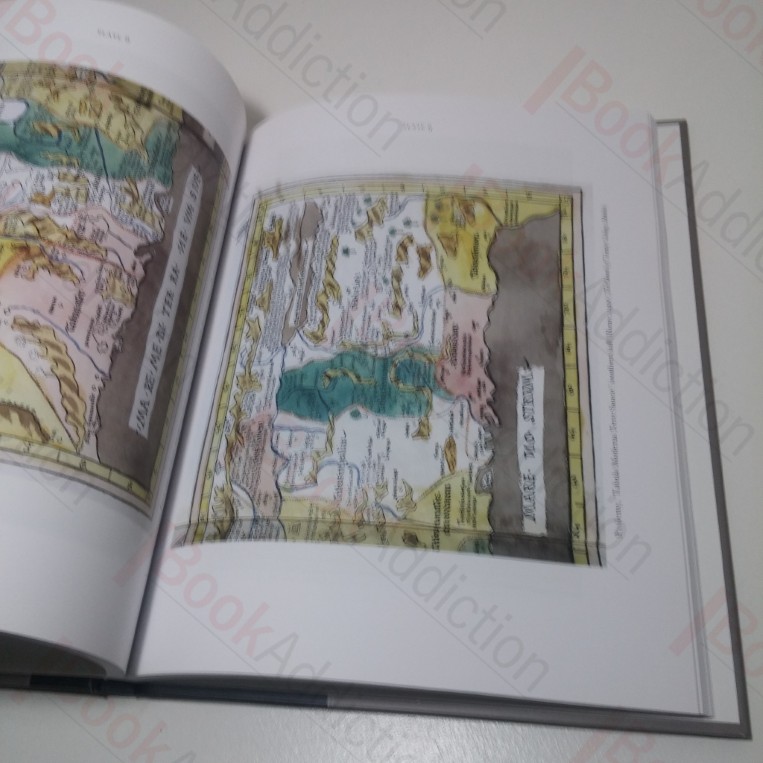
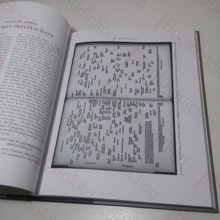
First edition. xii, 164pp, with black and white and colour illustrations. In paper-covered, illustrated boards. 8vo. Covers a little pushed at spine ends, very slightly shelf worn else neat, clean, bright and tight throughout.
This volume explores how travellers and scholars since Roman times have made maps of the land east of the River Jordan, tracing the contribution of Roman armies and early Christian pilgrims and medieval European travellers, crusader armies and map-makers.
Keywords:
Maps
Cartography
Jordan
Palestine