£100.00
FREE UK Shipping*
Out of Stock
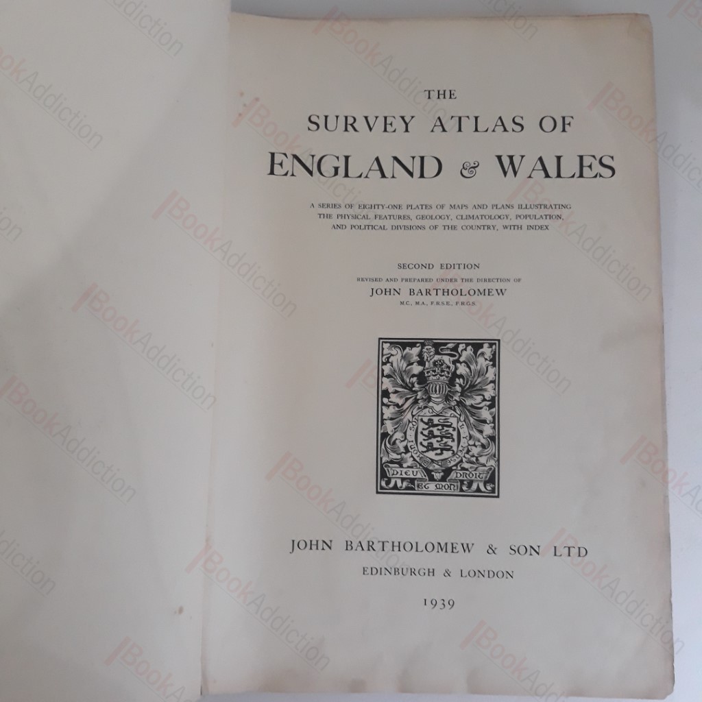
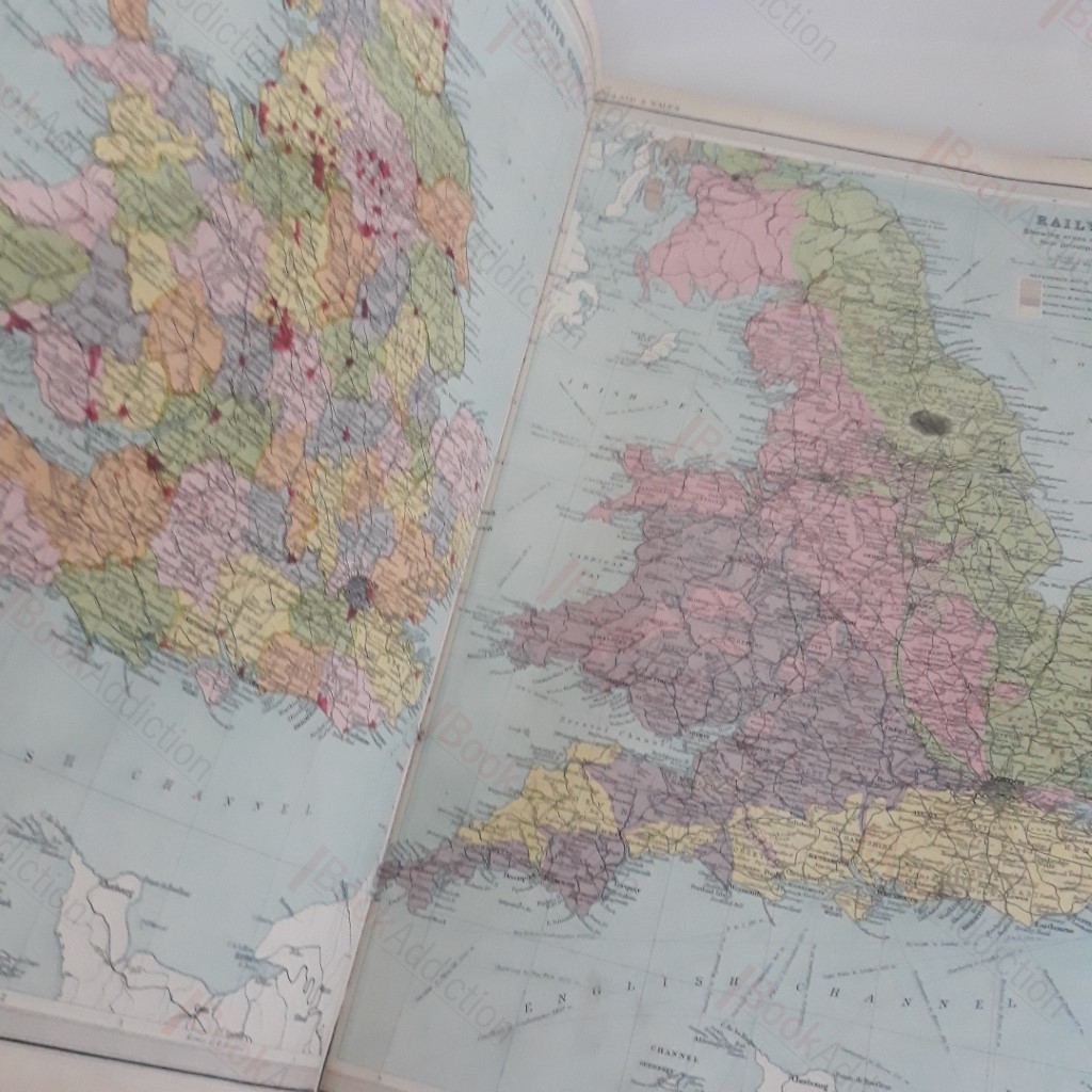
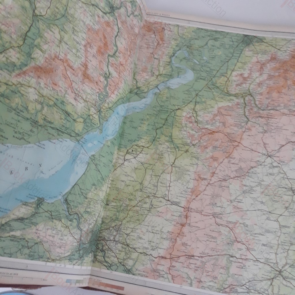
The Survey Atlas of England and Wales : A Series of Eighty One Plates of Maps and Plans Illustrating the Physical Features, Geology, Climatology, Population and Political Divisions of The Country, with Index
Author(s): Bartholomew, John
| Binding: | Hardcover |
| Volume Condition: | Good |
| Dust Jacket: | No |
| Edition: | 2nd Edition |
| Language: | English |
| Publisher Name: | John Bartholomew and Son |
| Publication Year: | 1939 |
| Publication Place: | Edinburgh and London |
| Book ID: | 002773 |
| Catalogue(s): | History - British ◇ Travel, Exploration and Topography |
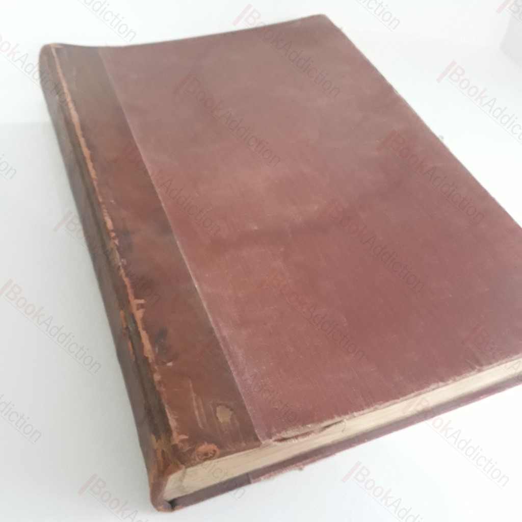
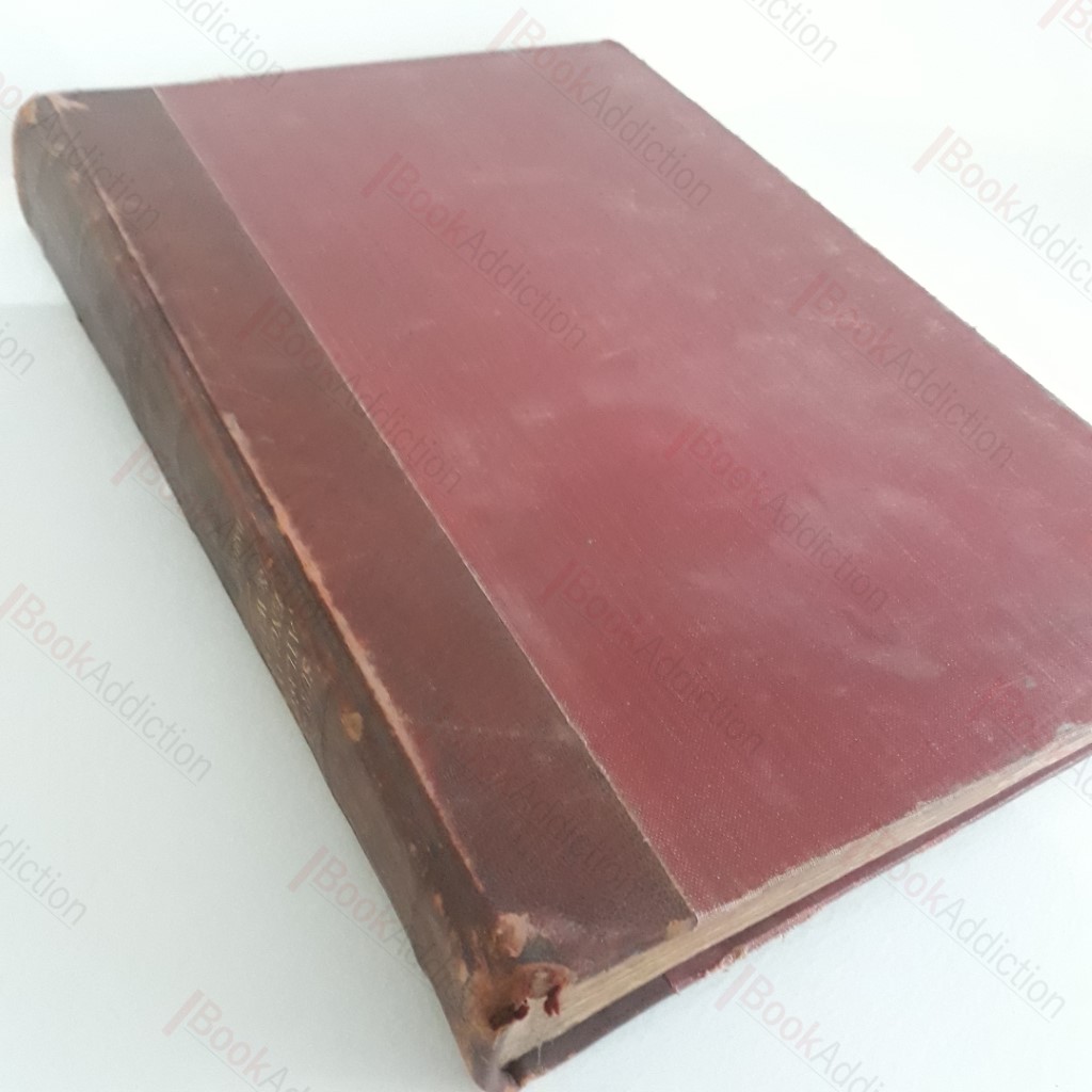
xii, 81 plates, 24pp. Quarter bound in leather over original cloth (boards rubbed, right through on edges, spine shows scuffing). Ex library volume with remains of markings on endpapers. Occasional faint foxing, else plates bright and fresh, with mild signs of fingering. A couple of strained signatures but generally firm binding. Fascinating shapshot of the world as it was in 1939, produced to Bartholomew's typical exacting standards. With tables of statistics and charts relating to conditions in England and Wales. A very large and heavy volume which will require an additional charge for overseas delivery. Large elephant folio.
Keywords:
maps
atlas
geology
population
geography
england
wales