£47.80
FREE UK Shipping*
✓ In stock
* Allow 7-10 business days for delivery, usually by Royal Mail Tracked 48 or Second Class Post.
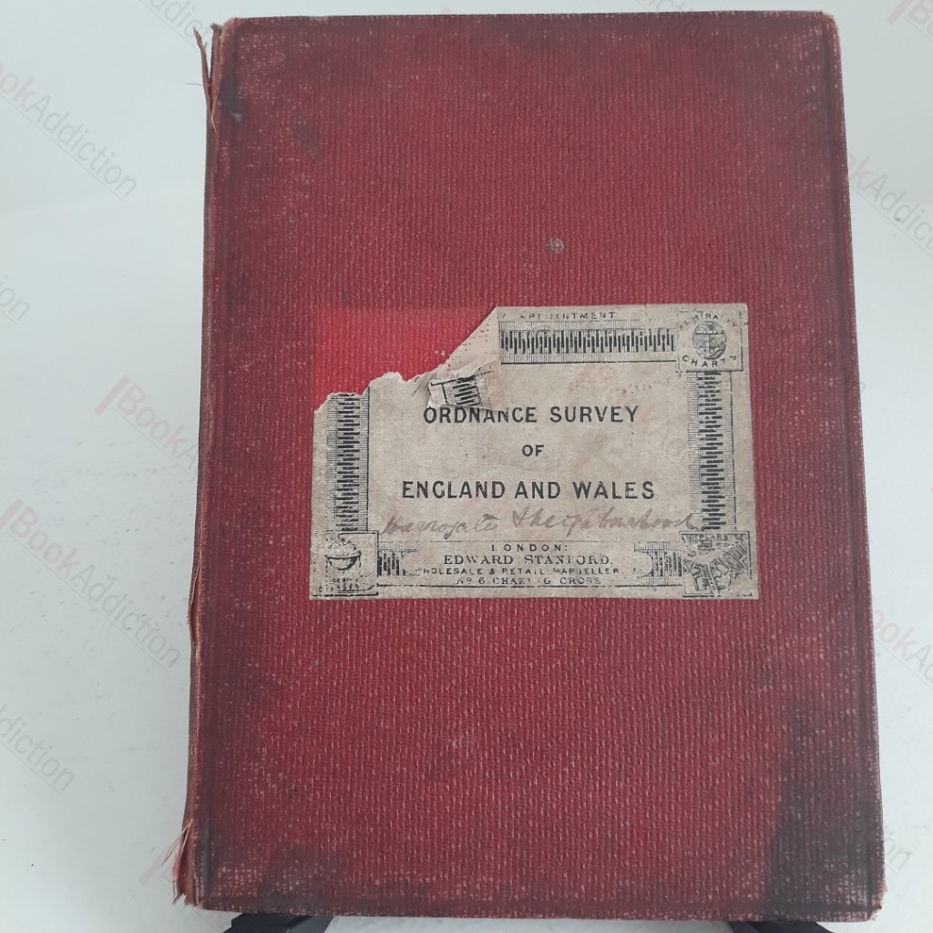
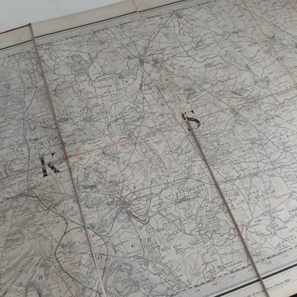
Ordnance Survey of England and Wales, Sheet 93 (Harrogate, Knaresborough
Author(s): Ordnance Survey
| Binding: | Hardcover |
| Volume Condition: | Good |
| Dust Jacket: | No |
| Dust Jacket Condition: | N/A |
| Language: | English |
| Publisher Name: | Ordnance Survey |
| Publication Year: | 1848 |
| Book ID: | 002799 |
| Catalogue(s): | Travel, Exploration and Topography ◇ Local Interest and History - Yorkshire and Humberside |
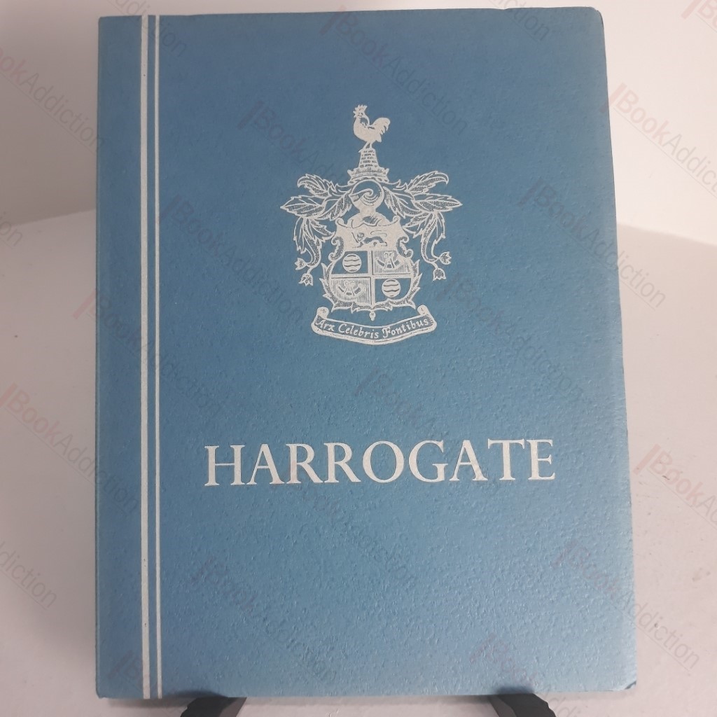
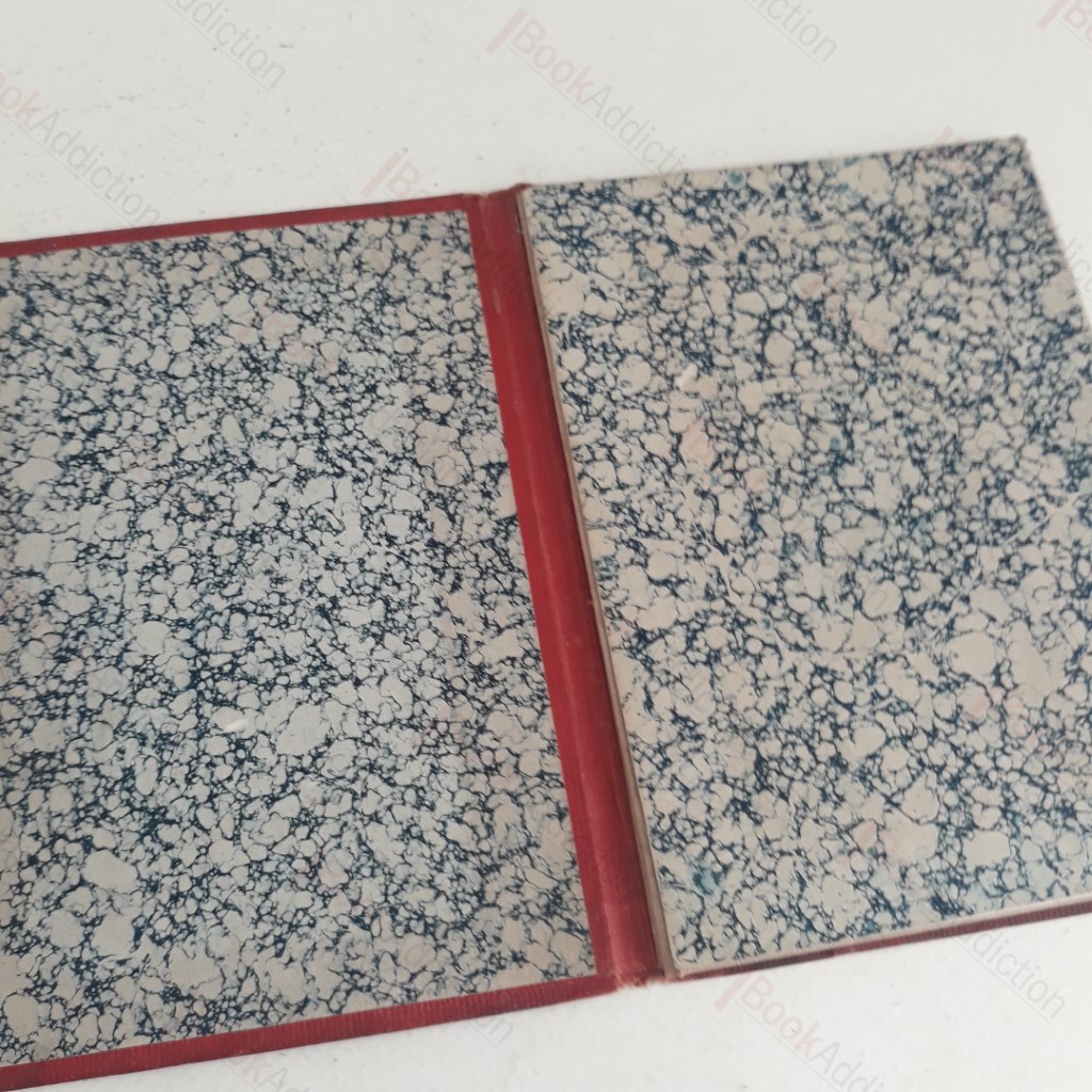
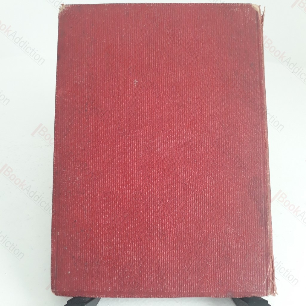
Sheet 93 from Ordnance Survey's 1848 engraved maps of England and Wales showing an area of Yorkshire centred around Knaresborough, Harrogate, Ripley and Boroughbridge etc as they were in the middle of the 19th century. Presented in red cloth covered boards, approximately 7.5 by 5.5 inches, the linen map folds out in eight panels to a size of approximately 21 inches by 15 inches. The scale is one inch to one mile. Red boards are worn at edges, beginning to fray at spine and soiled, with the label (chipped) of Edward Stanton, Map seller, on the front board. Marbled endpapers. A couple of fingering marks and light toning internally. Map is clean and strong.
Keywords:
map
yorkshire
ordnance survey