£25.00
FREE UK Shipping*
Out of Stock
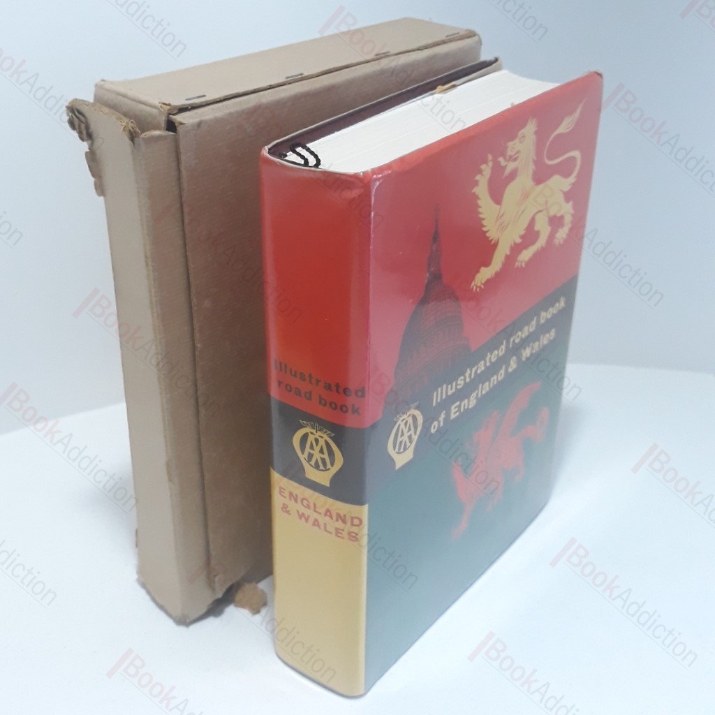
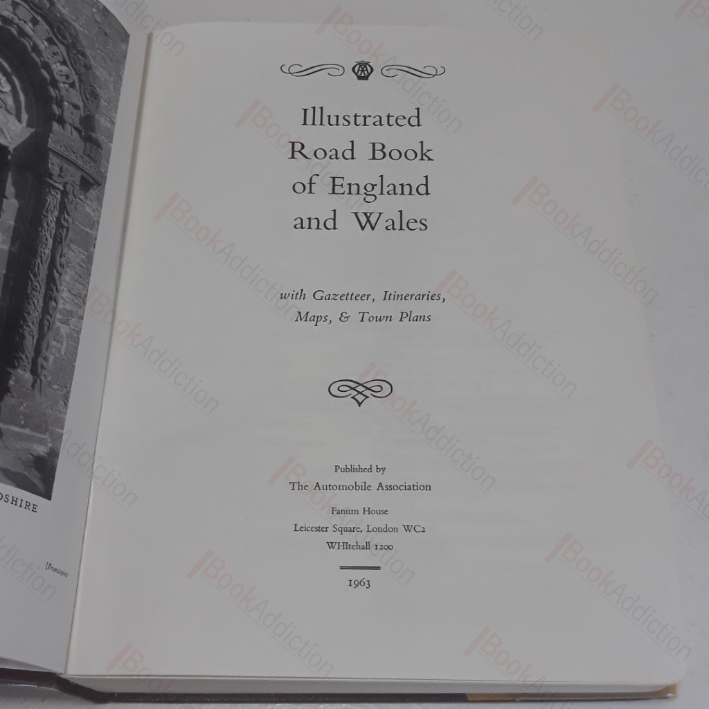
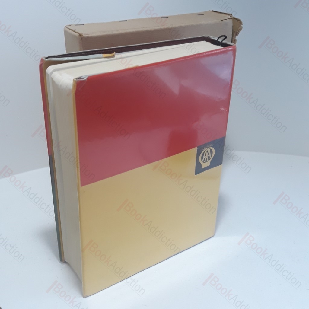
Illustrated Road Book of England and Wales with Gazetteer, Itineraries, Maps and Town Plans - AA
| Volume Condition: | Very Good |
| Dust Jacket: | No |
| Dust Jacket Condition: | Good |
| Language: | English |
| Publisher Name: | Automobile Association |
| Publication Year: | 1963 |
| Publication Place: | London |
| Book ID: | 003245 |
| Catalogue(s): | Guide Books, Visitor Handbooks, Books for Tourists |
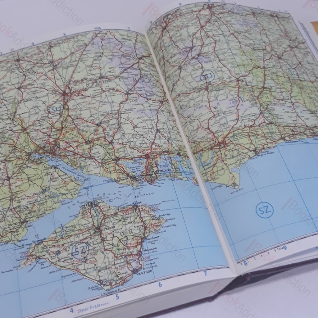
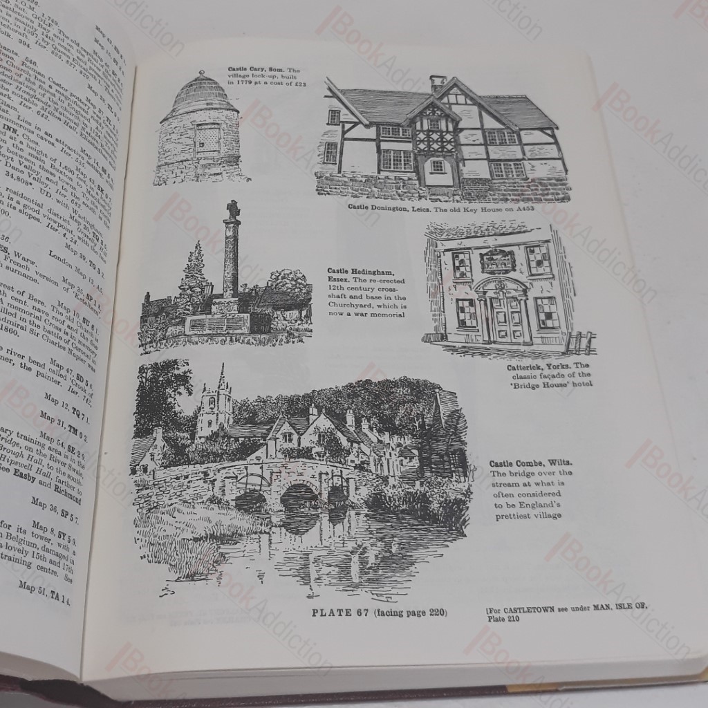
543pp with nearly 400 black and white plates and 60 pages of full colour maps. Burgundy leatherette-covered boards with gilt text on spine and gilt design on front. Minor rounding, fraying to heel of spine. Mylar cover attached to dust jacket. Dust jacked has bumping to head. Has had very, very little use. Cardboard slipcase has two tears and general bumping. 4to.