£95.00
FREE UK Shipping*
✓ In stock
* Allow 7-10 business days for delivery, usually by Royal Mail Tracked 48 or Second Class Post.
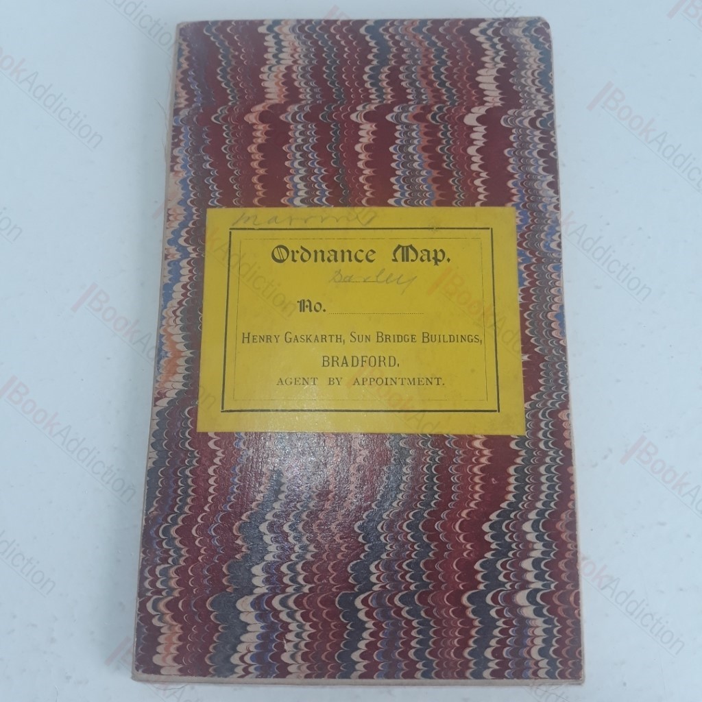
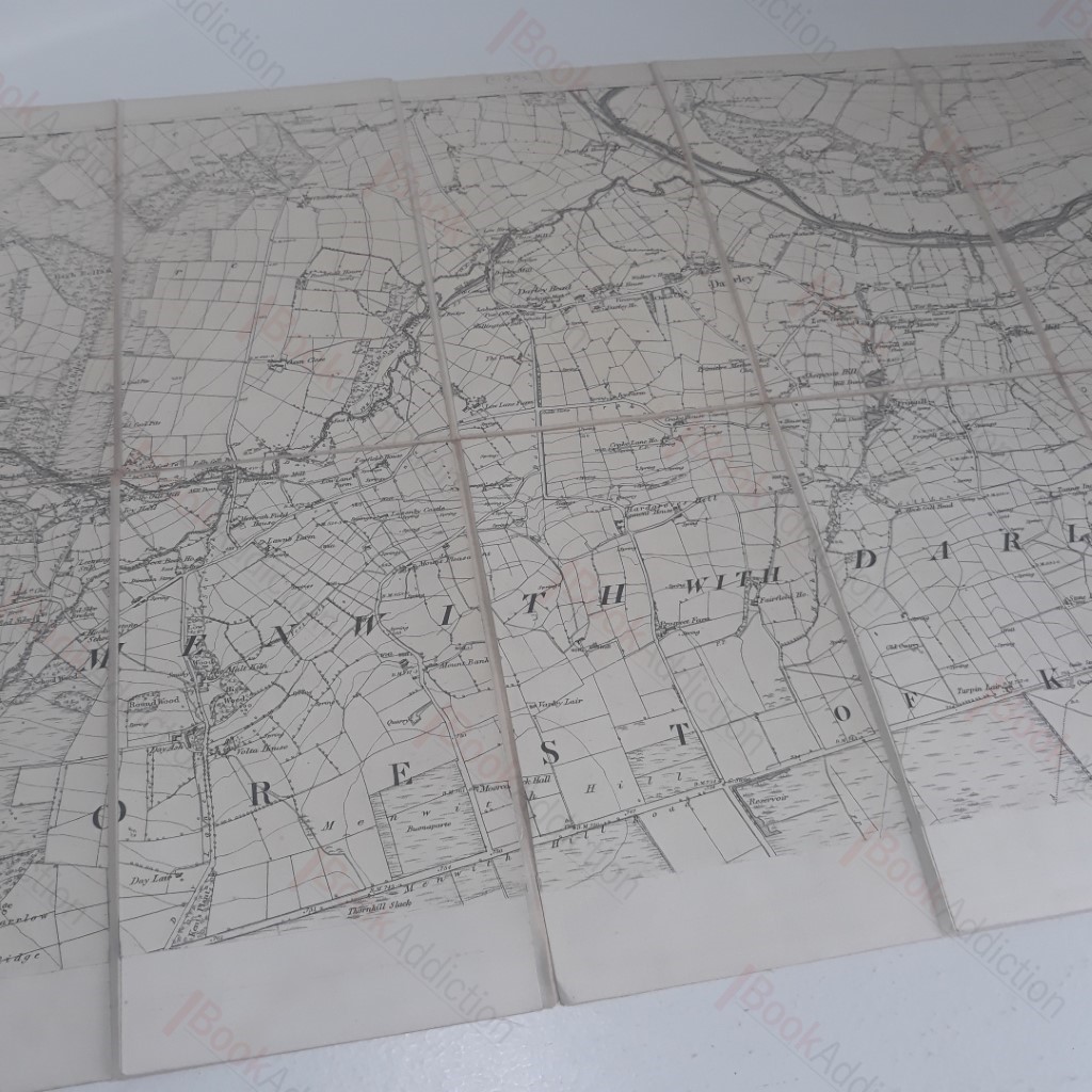
Ordnance Map of Darley and Environs (c. 1892)
| Binding: | Softcover |
| Volume Condition: | Very Good |
| Dust Jacket: | No |
| Dust Jacket Condition: | N/A |
| Language: | English |
| Publisher Name: | Henry Gaskarth |
| Publication Year: | 1892 |
| Publication Place: | Bradford, UK |
| Book ID: | 003806 |
| Catalogue(s): | Local Interest and History - East Midlands |
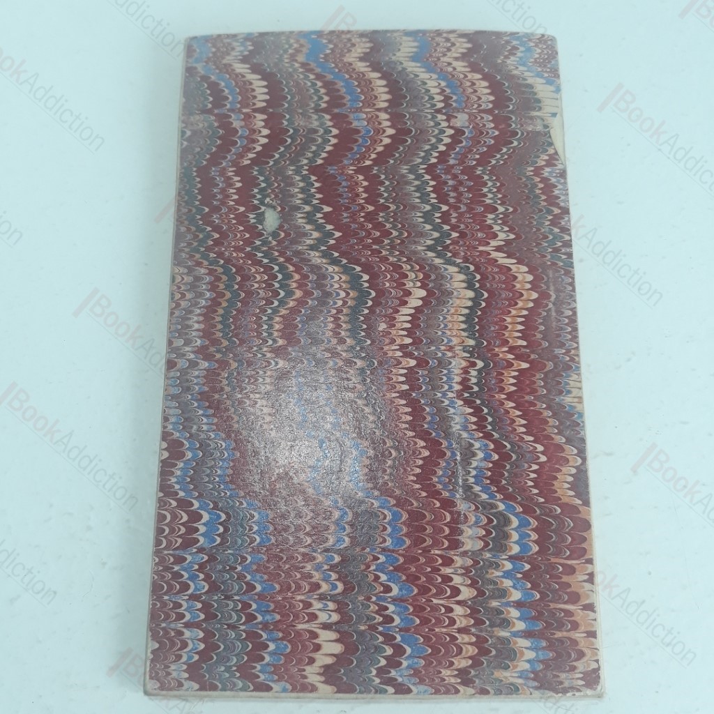
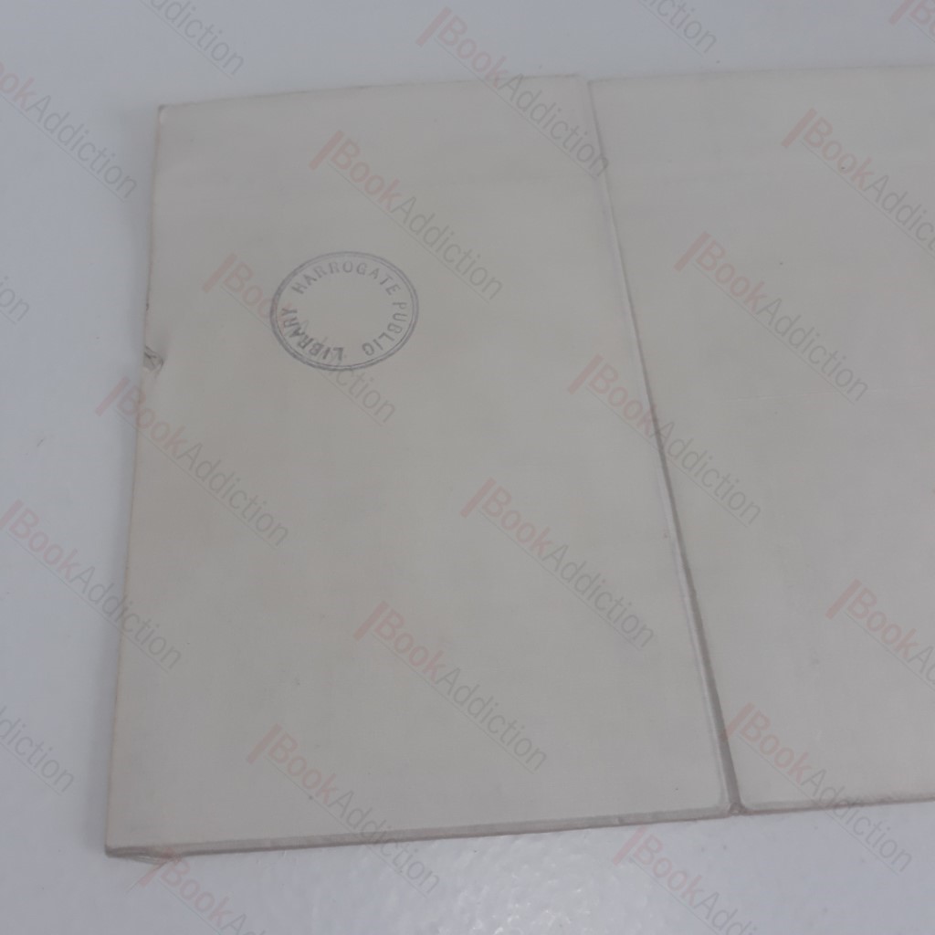
Not dated but c 1892. Medium-sized fold-out map, centred on Darley, Yorkshire; linen backed. Folds out to approximately 14 x 20 inches, scale 1 to 40. Shows Darley, Thornthwaite, parts of the Forest of Knaresborough, and the Menwith Hills. Printed card covers a little worn at edges, with title onlay, Menwith and Darley pencilled in.
Keywords:
yorkshire
darley
map