
£43.00
FREE UK Shipping*
✓ In stock
* Allow 7-10 business days for delivery, usually by Royal Mail Tracked 48 or Second Class Post.
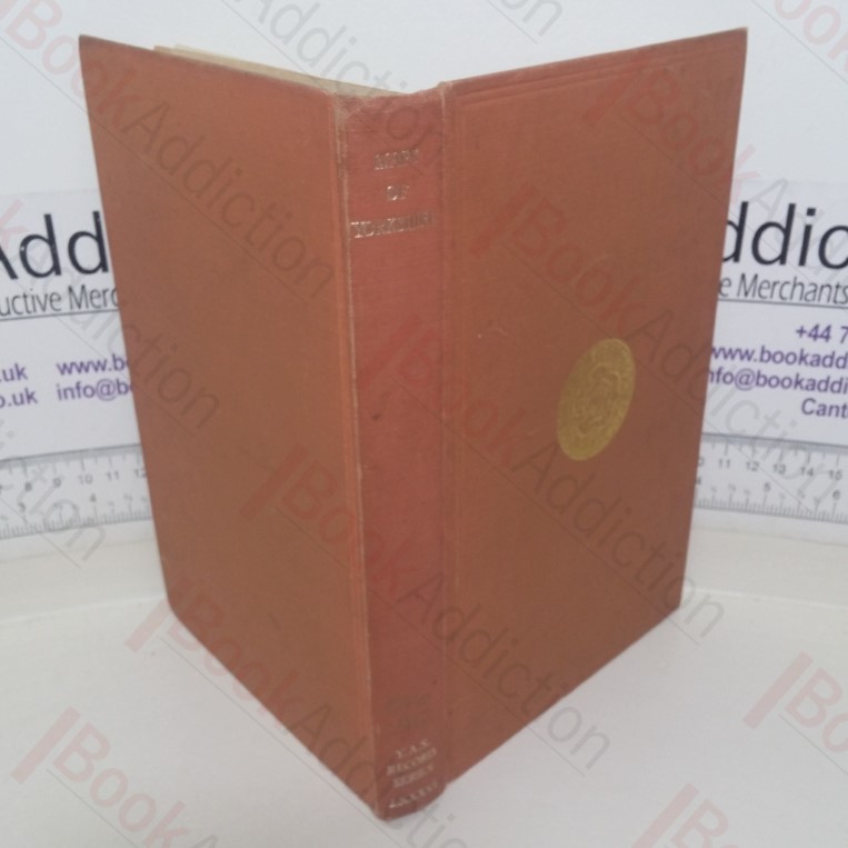
A Descriptive List of the Printed Maps of Yorkshire and its Ridings, 1577-1900 (The Yorkshire Archaelogical Society : The Record Series Vol. LXXXVI for the Year 1933)
Author(s): Whitaker, Harold (editor)
| Binding: | Hardcover |
| Volume Condition: | Very Good |
| Dust Jacket: | No |
| Dust Jacket Condition: | N/A |
| Language: | English |
| Publisher Name: | The Yorkshire Archaeological Society |
| Publication Year: | 1971 |
| Publication Place: | Leeds, UK |
| Book ID: | 003995 |
| Catalogue(s): | Books on Books, Book Collecting, Print and Design History ◇ Local Interest and History - Yorkshire and Humberside |
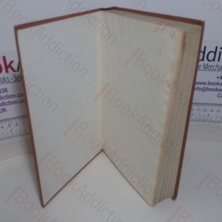
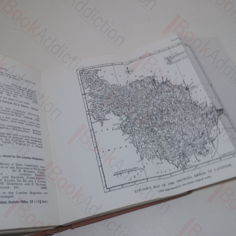
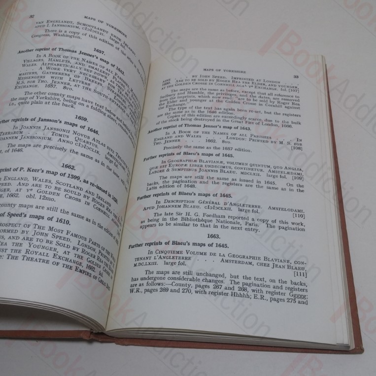
1971 Reprint. xiv, 262pp, 23 illustrations and fold out maps (including frontispiece) in black and white. Umber cloth-covered boards with gilt titles on spine and gilt design on front. Rubbed spine ends. Some bumping along bottom edge and shelf wear. Evidence of previous labels on front end papers. Slightly loose binding. Otherwise, internally neat, clean and bright. 8vo. A bibliographic examination of printed maps of Yorkshire from around the beginning of the 16th century, with reproductions of some beautifully engraved maps and some curious and rarer ones.
Keywords:
maps
cartography
printed maps
yorkshire