£10.70
FREE UK Shipping*
✓ In stock
* Allow 7-10 business days for delivery, usually by Royal Mail Tracked 48 or Second Class Post.
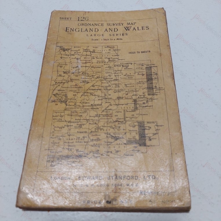
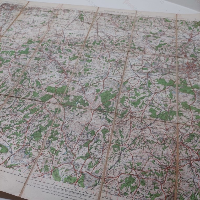
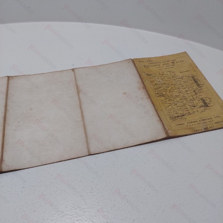
Ordnance Survey Map England and Wales - Large Series - Tunbridge Wells and Redhill
| Binding: | Softcover |
| Volume Condition: | Good |
| Dust Jacket: | No |
| Dust Jacket Condition: | N/A |
| Language: | English |
| Publisher Name: | Edward Stanton |
| Book ID: | 004782 |
| Catalogue(s): | Local Interest and History - South East |
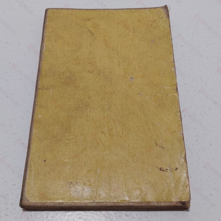
Not dated but c. 1915. Linen folding map showing the Tunbridge Wells and Redhill area at a scale of one inch to mile, sheet 126 of the Ordnance Survey England and Wales Large Series. Map based on 1903-05 survey, with railway revisions dating from 1914. Card covers worn, discoloured and a little rubbed at edges, with a few marks. A little toning on linen but map is good, strong and bright.
Keywords:
map
old maps
cartography
kent
tunbridge wells