£38.20
FREE UK Shipping*
✓ In stock
* Allow 7-10 business days for delivery, usually by Royal Mail Tracked 48 or Second Class Post.
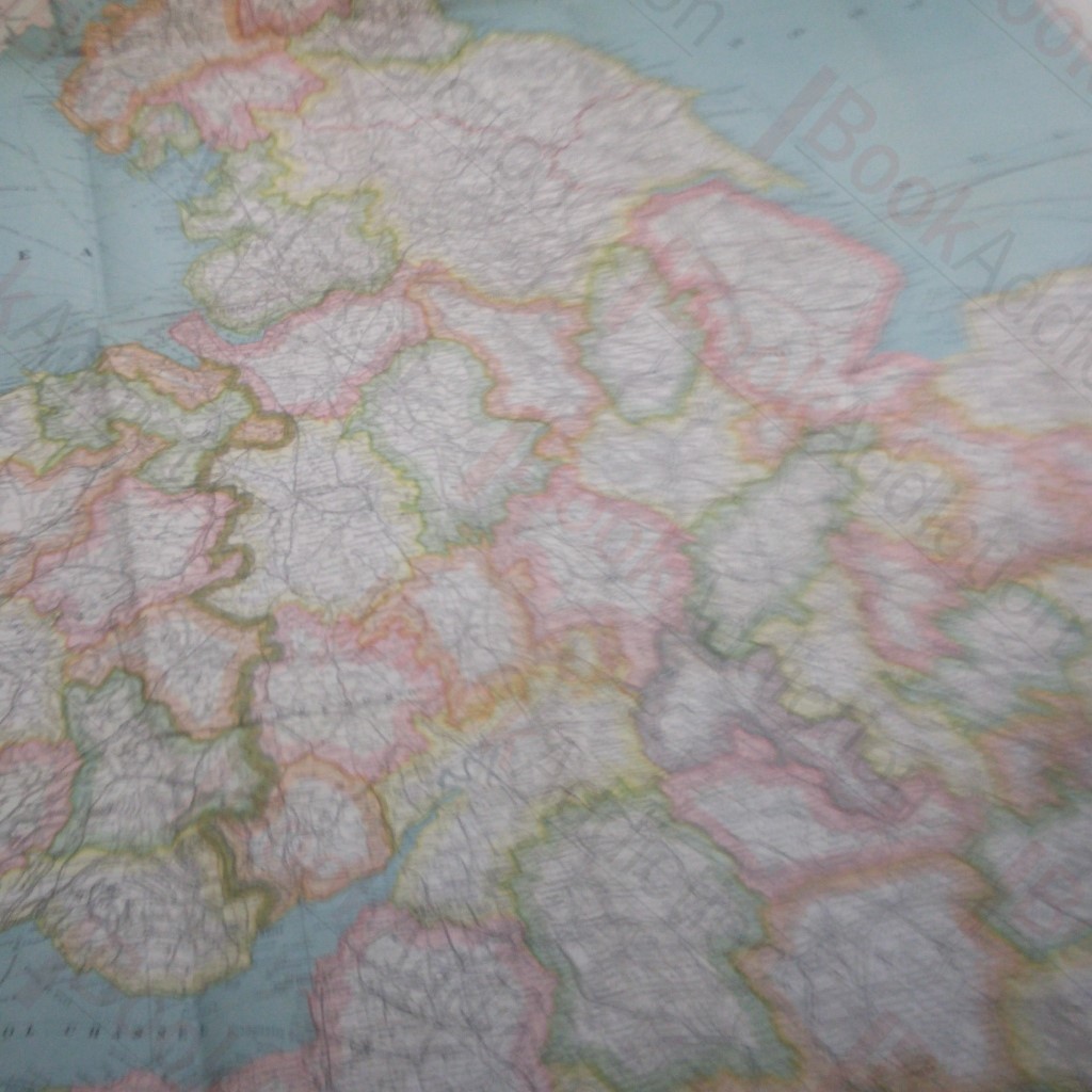
Bacon's Commercial Map of England and Wales: Coloured in Counties
Author(s): Bacon
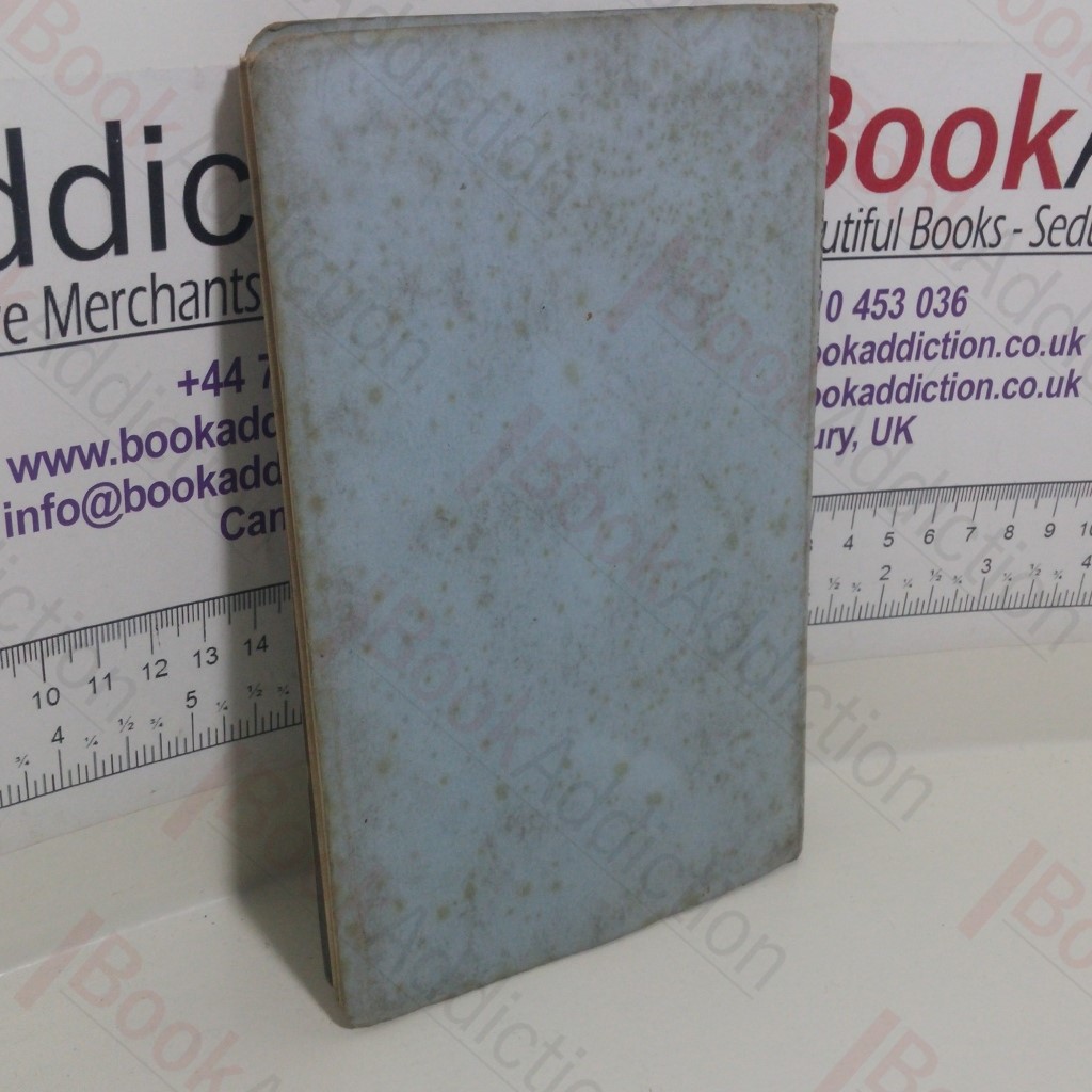
| Binding: | Softcover |
| Volume Condition: | Good |
| Dust Jacket: | No |
| Dust Jacket Condition: | N/A |
| Dust Jacket Protection: | N/A |
| Signature: | None |
| Language: | English |
| Publisher Name: | G W Bacon and Co |
| Publication Place: | London, UK |
| Book ID: | 013753 |
| Catalogue(s): | Maps, Historic Maps and Cartography |
Undated. (circa 1950s). Fold-out cloth map which states Bacon's County Map of England and Wales. Spine states Bacon's Map of England and Wales. Covers a little grubby, contents clean and sound.
Keywords:
Maps