£14.60
FREE UK Shipping*
✓ In stock
* Allow 7-10 business days for delivery, usually by Royal Mail Tracked 48 or Second Class Post.
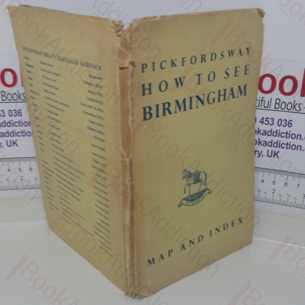
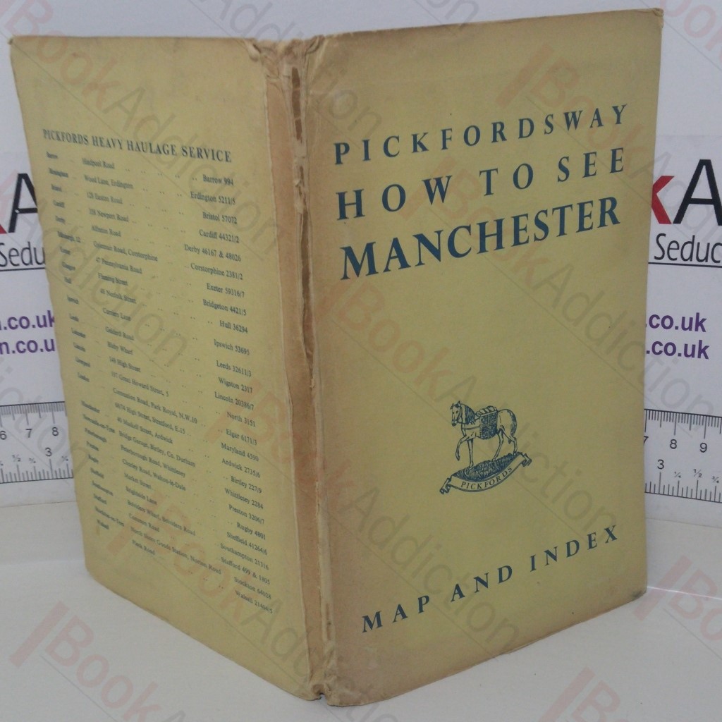
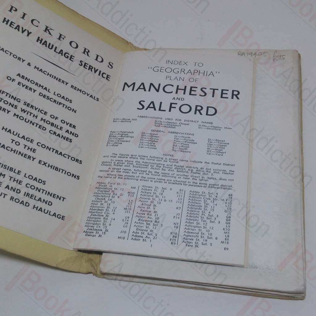
Pickfordsway: How to See Manchester
| Binding: | Softcover |
| Volume Condition: | Good |
| Dust Jacket: | No |
| Dust Jacket Condition: | N/A |
| Dust Jacket Protection: | N/A |
| Signature: | None |
| Language: | English |
| Publisher Name: | Pickfords Heavy Haulage Service |
| Publication Place: | United Kingdom |
| Book ID: | 019405 |
| Catalogue(s): | Maps, Historic Maps and Cartography |
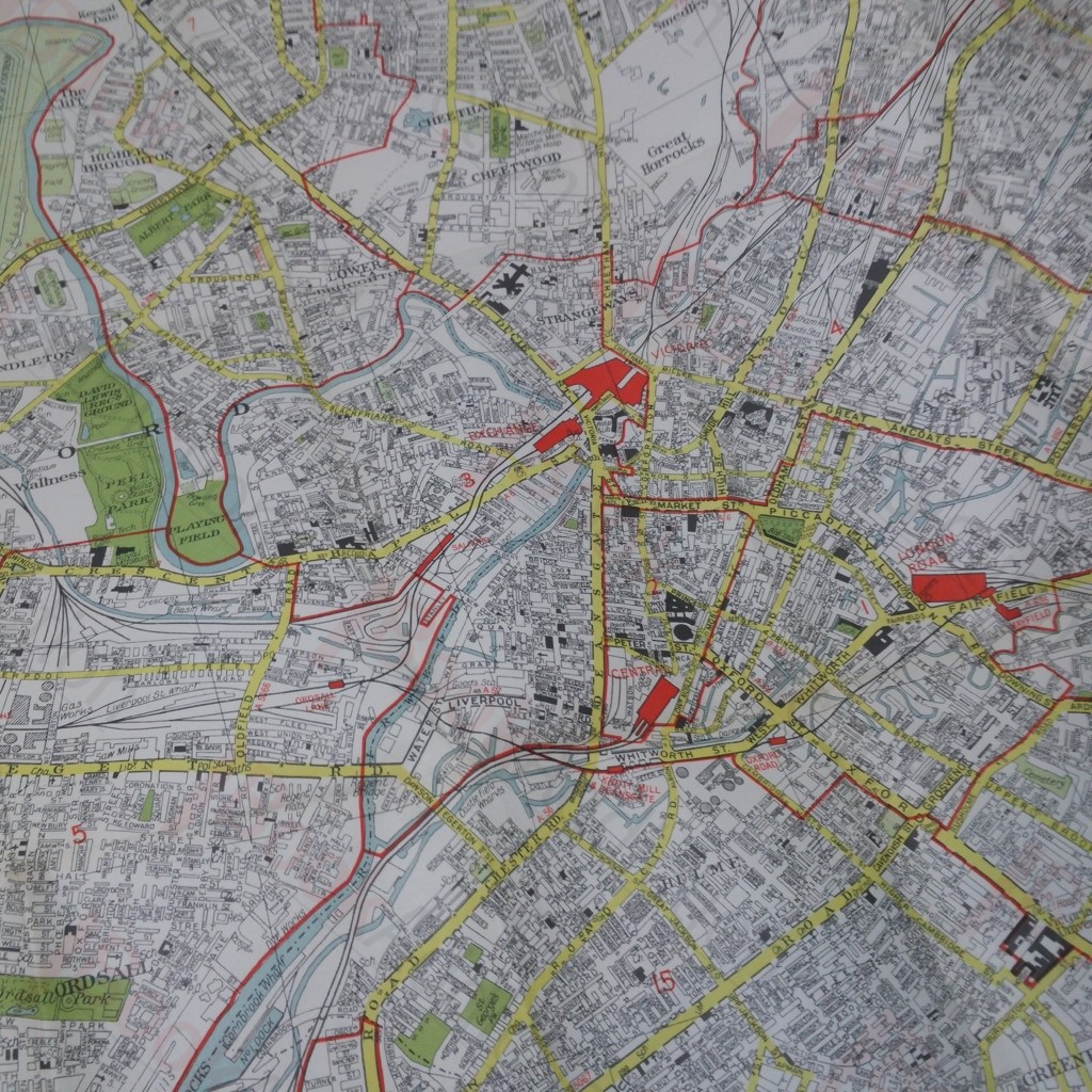
Undated but circa 1950s. Large fold-out Geographia plan of Manchester in stiff card covers. 8vo (when folded). Card covers rubbed at edges, marked, scuffed all round, bruised at spine ends, some soiling to covers. Map very clean and bright.
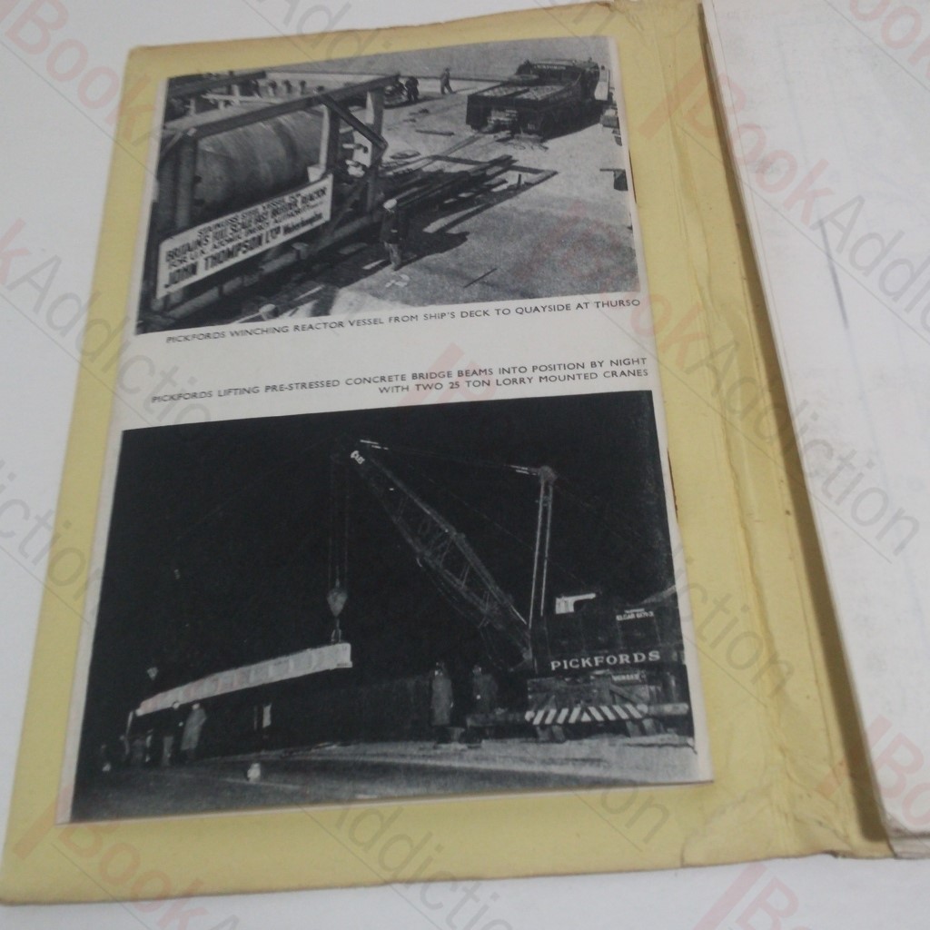
Includes Gazetteer and pictures of Pickford's haulage vehicles and operations. Pickford's Haulage produced a series of Geographia maps and gazetteers including Glasgow, Birmingham, London, Manchester and perhaps more. They are all now hard to find.
Keywords:
Maps
Manchester
Pickford's Haulage
Transportation