£14.60
FREE UK Shipping*
✓ In stock
* Allow 7-10 business days for delivery, usually by Royal Mail Tracked 48 or Second Class Post.
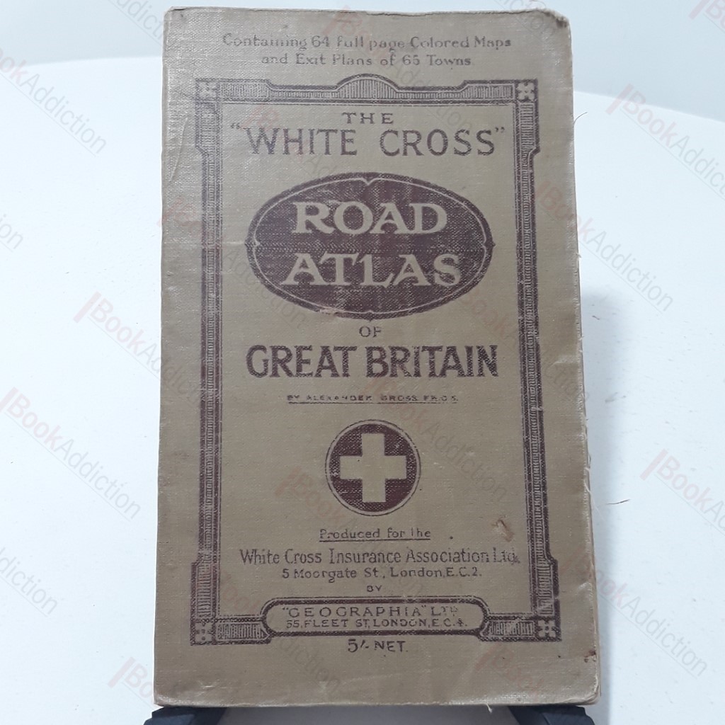
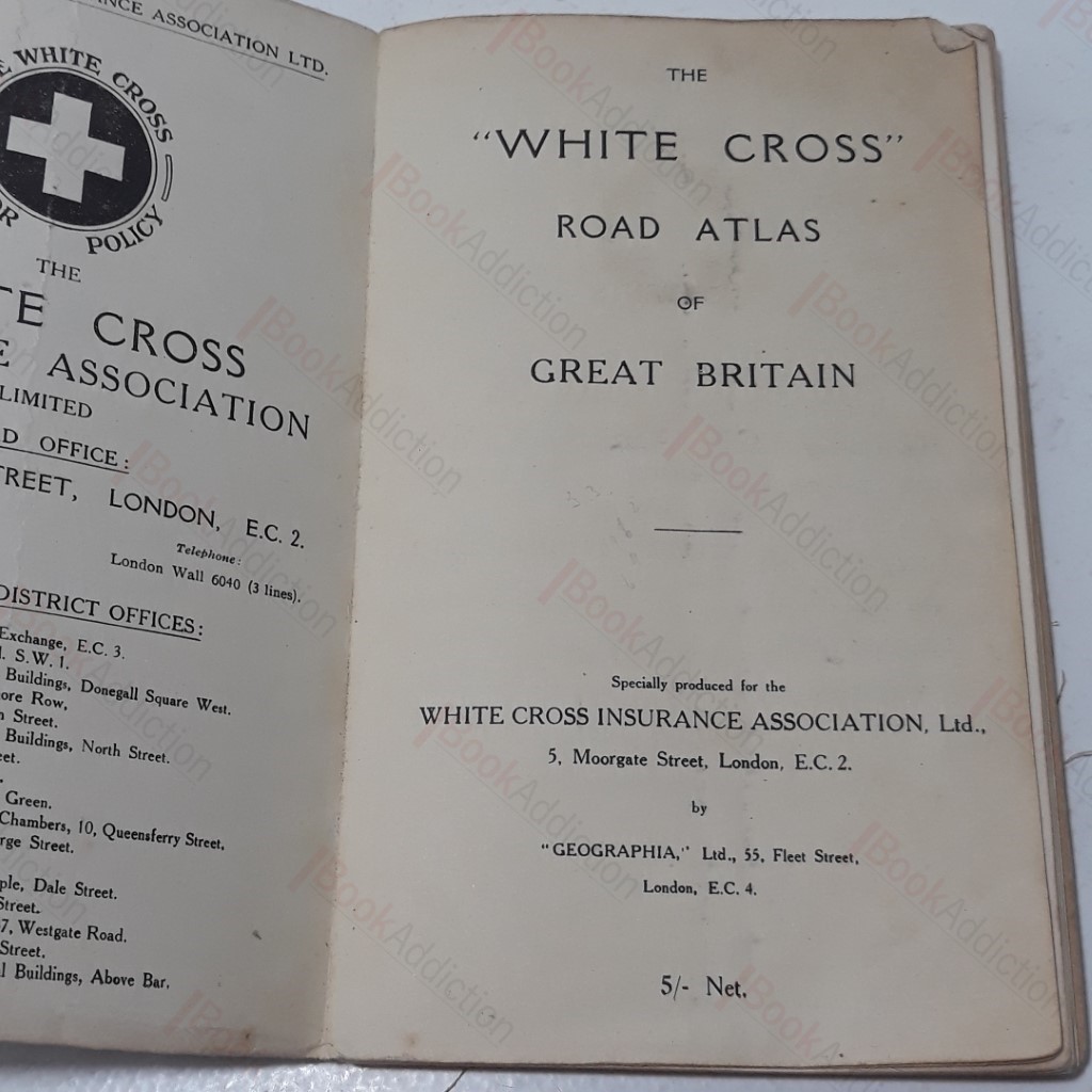
The 'White Cross' - Road Atlas of Great Britain
| Binding: | Softcover |
| Volume Condition: | Good |
| Dust Jacket: | No |
| Dust Jacket Condition: | N/A |
| Dust Jacket Protection: | N/A |
| Signature: | None |
| Language: | English |
| Publisher Name: | White Cross Insurance Association |
| Publication Place: | London, UK |
| Book ID: | 003158 |
| Catalogue(s): | Maps, Historic Maps and Cartography |
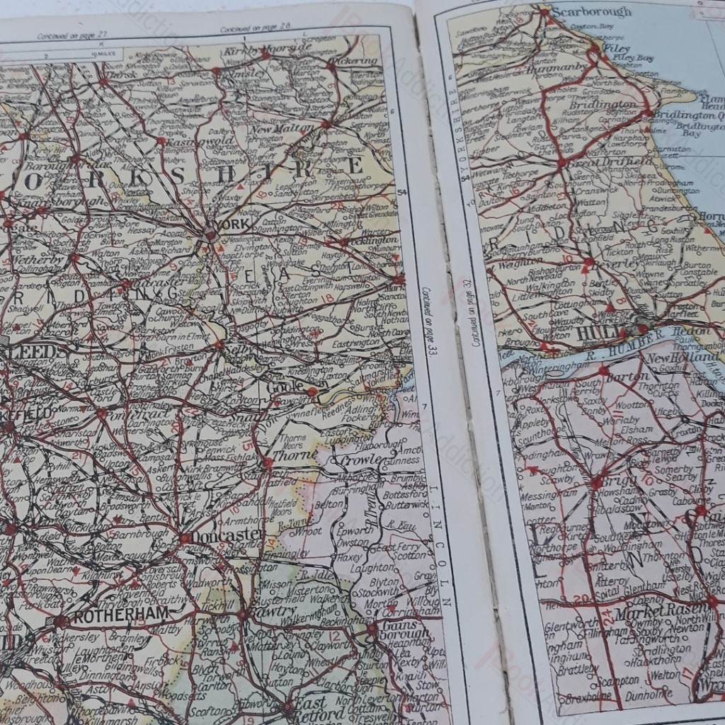
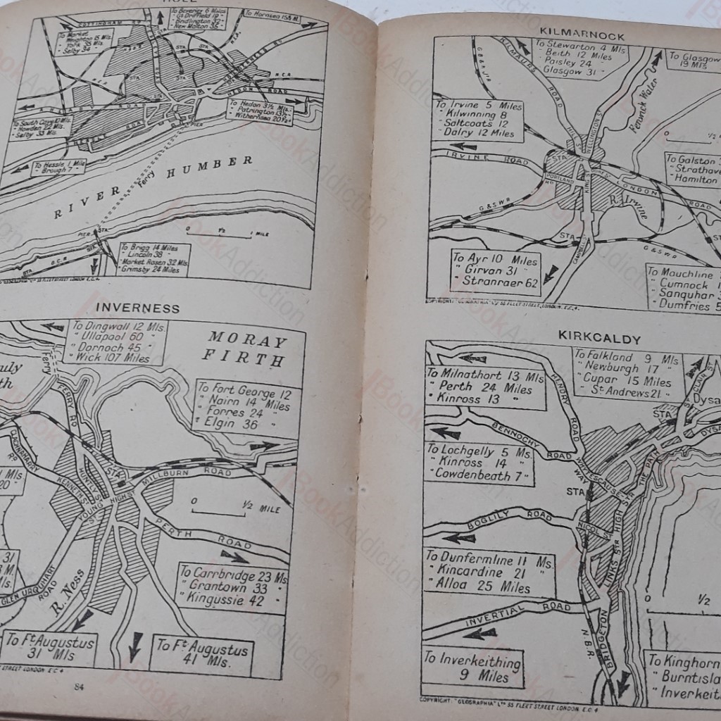
128pp with 64pp of full colour roads maps. Dozens of city and village maps; selection of motor routes. Cloth covers have some wear and fraying slightly in areas. 8vo. c 1950
Keywords:
Rad Map